National Overview — Mon, September 22, 2025
A frontal zone from the southern Plains to the Great Lakes will trigger multiple rounds of thunderstorms today, including some severe storms and pockets of heavy rain. The Southwest and California will also see scattered storms with isolated flash flooding. Along the East Coast, swells and hazardous surf from offshore Hurricane Gabrielle may affect beaches; the storm remains out to sea, but coastal terminals and beach-adjacent routes could see increased spray and congestion.
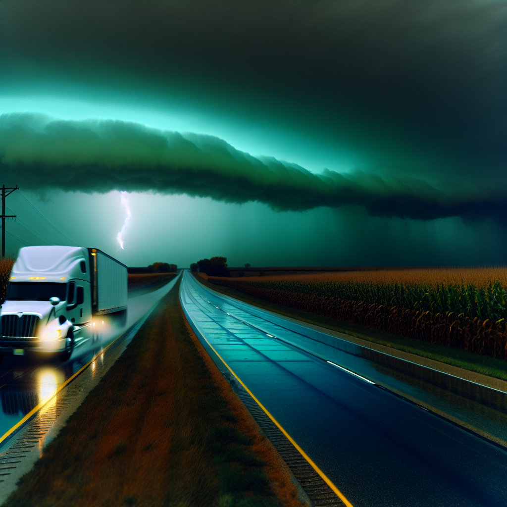
Hotspot 1: Central/Southern Plains into the Mid–Missouri Valley
Areas: eastern Nebraska, western Iowa/northwest Missouri; western/southern Kansas; western/central Oklahoma; eastern Oklahoma/Texas Panhandles. Expect afternoon and evening severe thunderstorms with large hail and damaging wind.
- Primary corridors: I-80 (NE/IA), I-29 (IA/MO), I-70 (KS), I-35 (KS/OK), I-40 (TX Panhandle/OK).
- Hazards: sudden damaging wind gusts, large hail, frequent lightning, blinding downpours with quick ponding in low spots.
- Driver notes: plan fueling and driver changes before storms peak; avoid parking under trees, signage, or light poles; be prepared to pause operations during the strongest cells and resume behind the line.
Hotspot 2: Tennessee/Ohio Valleys into the Lower Great Lakes
Areas: Tennessee, Kentucky, Indiana, Ohio, and southern Michigan. Clusters of storms will produce locally damaging wind gusts; a brief spin-up cannot be ruled out.
- Primary corridors: I-65, I-64, I-70, I-71, I-75.
- Hazards: fast-moving lines with sudden crosswinds, reduced visibility in heavy rain, pockets of minor roadway flooding; isolated brief rotations possible.
- Driver notes: increase following distance ahead of storm clusters; avoid stopping on exposed overpasses; if a tornado warning is issued nearby, seek sturdy shelter off the roadway—do not shelter under an overpass.
Hotspot 3: Western/South‑Central Kansas into Northeastern Oklahoma
Repeated storms late day into tonight may produce scattered flash flooding, with ponding and potential washouts in low spots.
- Primary corridors: I‑70 (western KS), the I‑135/I‑35 corridor (Wichita–OKC), and I‑40 in central OK.
- Hazards: water-covered lanes at dips/underpasses, rapidly changing detours, soft/gravel shoulders giving way near drainage cuts.
- Driver notes: never drive through flood water; reroute early if closures are reported; stage equipment on higher ground away from drainage channels.
Safety Tip of the Day
Hail and damaging wind arrive quickly with severe cells. If you see a towering, dark storm with a sharp leading edge, reduce speed, increase spacing, and identify the nearest sturdy building for a short weather hold. Protect windshields by angling the tractor into the wind if safe to do so when stopped; avoid trees and light poles.
Sources: National Weather Service, Storm Prediction Center, Weather Prediction Center, local NWS forecast offices, state Departments of Transportation, and The Weather Channel.
This weather briefing was prepared exclusively for truckstopinsider.com.