National Overview — Monday, September 29, 2025
Two systems drive today’s impacts: a tropical storm offshore of the Southeast sending bands of heavy rain, gusty coastal winds, and dangerous surf; and an early-season Pacific storm brushing Northern California into far southwest Oregon with scattered downpours, a few thunderstorms, and gusty onshore winds. The Interior West is dry and windy with elevated fire danger. Much of the Northeast stays unseasonably warm and mainly dry.
Southeast Coast (FL–GA–SC–NC)
Tropical Storm Imelda remains offshore but close enough to push rain bands inland. Expect 2–4 inches of rain with local 6-inch totals in stronger bands, immediate-coast gusts 30–40 mph, and a high rip-current risk. Hazardous surf may affect coastal bridges and causeways.
- Primary corridors: I-95 from east-central Florida through coastal Georgia and the Lowcountry into southeast North Carolina; connectors I-16 (to Savannah) and I-26 (Charleston–Columbia).
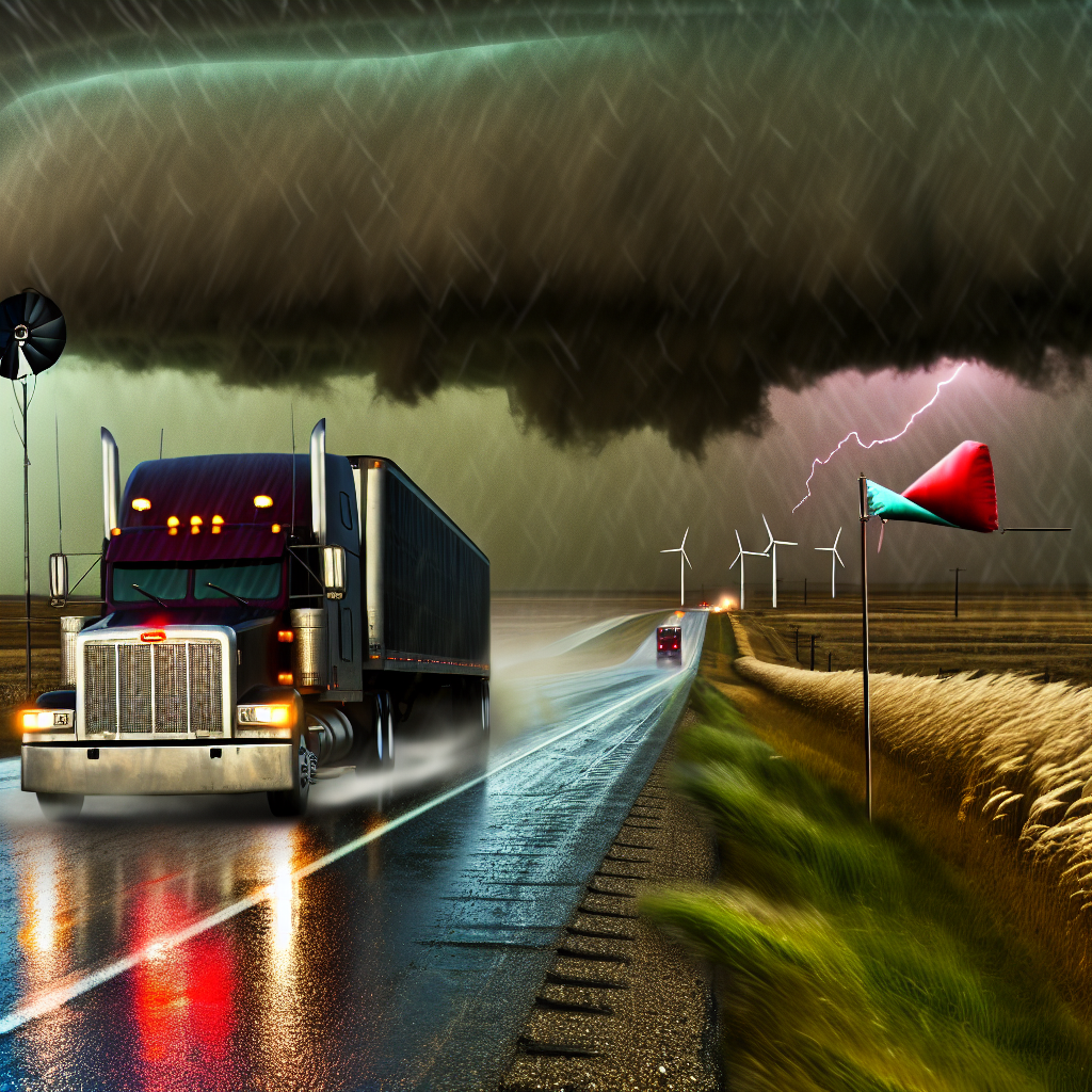
- Trucking impacts: ponding on roads, brief but intense squalls with reduced visibility, and coastal crosswinds near inlets and bridges.
- Operational notes: slow down in heavy bands, increase following distance, and be prepared for sudden wind shifts on exposed spans.
Northern California into Southwest Oregon
A fast-moving Pacific front brings scattered showers/downpours and a few thunderstorms, with gusty winds over coastal headlands and higher terrain. Lighter, hit-or-miss showers may reach the Sacramento Valley and Bay Area corridors.
- Primary corridors: US-101 (North Coast), I-5 (Redding–Medford), and over coastal ranges including CA-17.
- Trucking impacts: slick roads and sudden visibility drops under heavier cells; onshore gusts may buffet high-profile vehicles on exposed stretches.
- Operational notes: watch for hydroplaning in downpours, use caution on winding coastal and ridge routes, and anticipate brief, sharp slowdowns in convective showers.
Western Colorado and Eastern Utah (Intermountain West)
Red Flag conditions—dry air, gusty winds, and low humidity—elevate wildfire and blowing-dust concerns.
- Primary corridors: I-70 (UT/CO line–Grand Junction–Vail), I-15 (central UT), US-191.
- Trucking impacts: strong crosswinds and localized visibility drops from blowing dust or smoke; rapid fire growth possible near roadways.
- Operational notes: exercise caution with high-profile or empty trailers, secure light loads, and watch for smoke plumes and response vehicles.
Safety Tip of the Day
In any fast-changing conditions—tropical squalls, downpours, or blowing dust—reduce speed before entering the hazard, increase following distance, and avoid sudden lane changes. On exposed bridges and passes, check wind conditions and be prepared for abrupt gusts.
Likely sources: National Weather Service and local NWS offices, state Departments of Transportation, Washington Post weather coverage, San Francisco Chronicle weather reports.
This weather briefing was prepared exclusively for truckstopinsider.com.


