National Overview — Tuesday, September 30, 2025
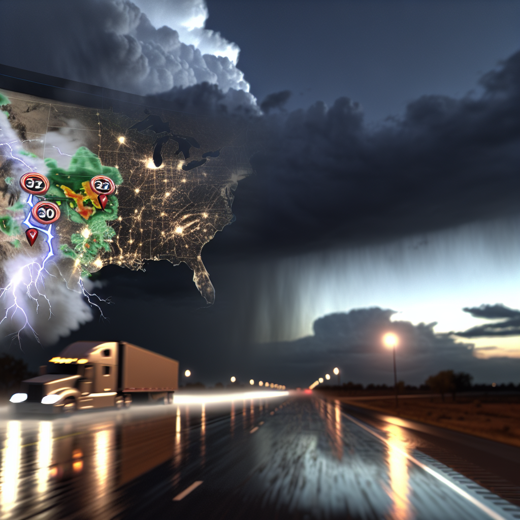
Most inland corridors run quiet today with late‑season warmth from the Plains into the Midwest. The primary impacts focus along the Southeast and Mid‑Atlantic coast where two offshore Atlantic tropical systems are sending rough surf, coastal flooding around high tide, gusty squalls, and bands of wind‑driven rain ashore. In the Pacific Northwest, expect spotty light rain with low clouds over the Washington Cascades.
- Main coastal impacts: rough surf, dangerous rip currents, periodic inundation of low‑lying roads at high tide, squally showers with brief visibility drops, and isolated spin‑up tornado potential in stronger bands.
- Pacific Northwest: intermittent rain and low ceilings creating slick pavement and reduced visibility over mountain passes.
Hotspot: Southeast Atlantic Coast (FL–GA–SC–NC)
Outer rainbands and persistent onshore flow will bring periods of coastal flooding at high tide, high surf, dangerous rip currents, and squally showers with gusty winds. While the offshore tropical systems are not forecast to make U.S. landfall today, they will continue to push swells and bands ashore from Florida through the Carolinas.
- Main corridors: I‑95 Jacksonville–Savannah–Charleston–Myrtle Beach–Wilmington; I‑26 into Charleston; low‑lying coastal surface routes.
- Road impacts: saltwater overwash possible on low causeways and beachfront roads around peak tides; brief heavy downpours can knock visibility down and create ponding.
- Wind: gusty squalls may affect high‑profile and light/empty trailers, especially on bridges and elevated roadways.
- Severe note: a low‑end risk exists for a quick spin‑up tornado within stronger rainbands; be prepared for rapid changes in wind direction and sudden bursts of heavy rain.
- Driver tactics: time coastal moves outside of high‑tide windows where possible; avoid driving through saltwater; secure light loads; reduce speed in squalls; verify local closures before committing to barrier‑island routes.
Hotspot: North Carolina Outer Banks
Coastal Flood Warning and High Surf Advisory are in effect. Expect 7–12 ft surf and 2–3 ft inundation at vulnerable spots with wind‑driven water and overwash. NC Highway 12 may be impassable at times around high tide.
- Key routes: Access via US‑64/US‑158 to Nags Head, then NC‑12 along Hatteras/Ocracoke. NC‑12 is the most vulnerable segment for overwash and closures.
- Operational guidance: plan alternates and check closures before departure; consider staging on the mainland if your delivery window overlaps peak tides; use caution on long bridges where crosswinds and spray can reduce control and visibility.
- Safety: if water covers the roadway, do not attempt to cross; hidden washouts and moving water can quickly disable or sweep a vehicle.
Hotspot: Washington Cascades Passes
On‑and‑off rain, low clouds, and cool conditions will lead to periods of reduced visibility and slick pavement over the passes, especially at I‑90 Snoqualmie and other Cascade crossings. Standing water is possible in rutted lanes and near drainage points.
- Main corridor: I‑90 Snoqualmie Pass (and other WA Cascade passes).
- Driving notes: increase following distance and braking room on downgrades; use engine braking to control speed on wet grades; avoid cruise control on slick surfaces; ensure wipers and lights are in top condition and watch for hydroplaning in heavier showers.
- Operations: allow extra time over the crest and anticipate spray‑induced visibility reductions when overtaking or being passed by heavy vehicles.
Concluding Safety Tip
Coastal flooding days demand flexible planning: know when local high tides occur, stage away from low‑lying causeways, and never drive through saltwater or overwash. For mountain passes in rain, slow down early, brake gently, and keep speed steady with engine braking to prevent skids on slick grades.
Sources: National Weather Service, National Hurricane Center, local NWS forecast offices, state Departments of Transportation, and The Weather Channel.
This weather briefing was prepared exclusively for truckstopinsider.com.