National Overview – Saturday, October 4, 2025
Much of the central and eastern U.S. remains unusually warm today, while a western trough keeps weather unsettled across the Rockies and High Plains. Along the Southeast coast, persistent onshore flow maintains periods of heavy coastal showers, high surf, dangerous rip currents, and coastal flooding around high tide. Farther inland from the central Rockies into the northern Plains, a passing disturbance may spark isolated strong storms late day into the evening. Overall flash-flood risk is low, but slow-moving coastal downpours on Florida’s east coast can still trigger localized flooding, especially near poor drainage and construction zones.
Hotspot 1: FL–GA–SC Atlantic Coast (I-95 Daytona Beach, FL to Charleston, SC)
Threat: Periods of heavy rain, coastal flooding at high tide, high surf, dangerous rip currents, and breezy onshore winds.
- Road impacts: Ponding on I-95 and low-lying interchanges; water over the road possible on coastal routes (US-17/A1A). Expect spray and reduced visibility near the oceanfront and on bridges.
- Driving tips: Slow down through water-covered lanes, avoid flooded ramps and coastal lots, and plan alternate routes away from immediate shoreline corridors during high tide cycles. Watch for strong crosswinds on elevated spans.
- Operations: Allow extra time for port and coastal deliveries. Keep an eye on drainage-prone areas and active construction zones where water can quickly back up.
Hotspot 2: Northern Rockies High Country (SW MT/NW WY near Yellowstone)
Threat: Early-season accumulating snow tonight into Sunday.
- Road impacts: Slushy/slick conditions and reduced visibility from snow and blowing snow on mountain approaches and passes. Routes most affected include US-20/191/89 and nearby approaches to I-90 (SW MT) and I-15 (ID/MT border).
- Driving tips: Expect changing traction at elevation; increase following distance and brake gently on descents. Clear lights and mirrors frequently to maintain visibility.
- Operations: Build in extra time for mountain segments and be prepared for brief delays or speed reductions over higher passes.
Hotspot 3: Central Rockies into the Northern Plains (WY, NE Panhandle, SD into ND/NW MN; I-25, I-80, I-90, I-94)
Threat: Isolated strong to marginally severe thunderstorms late day/evening with gusty winds and small hail as an upper disturbance exits the Great Basin.
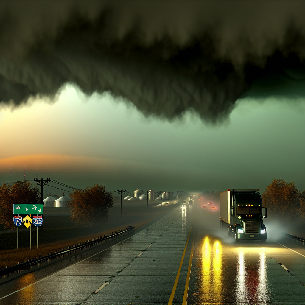
- Road impacts: Brief downpours, sudden crosswinds, and pockets of small hail can quickly reduce visibility and traction. Most storms will be spotty but fast-moving.
- Driving tips: Be ready for abrupt wind shifts near storm outflows, especially on open stretches and overpasses. Secure light/empty trailers and reduce speed in heavy rain or hail.
- Operations: Use radar-aware routing where available and time longer exposed segments to avoid the late-day peak where feasible.
Concluding Safety Tip
Plan for sharp weather contrasts today: coastal water hazards in the Southeast, mountain snow in the northern Rockies, and gusty, fast-hitting storms on the Plains. Keep speeds conservative in water, snow, or hail; maintain extra following distance; and verify route conditions over higher passes and along coastal stretches before departure.
Sources: National Weather Service (local forecast offices), NOAA Storm Prediction Center, NOAA Weather Prediction Center, and The Washington Post weather coverage.
This weather briefing was prepared exclusively for truckstopinsider.com.


