National Overview — Monday, October 13, 2025
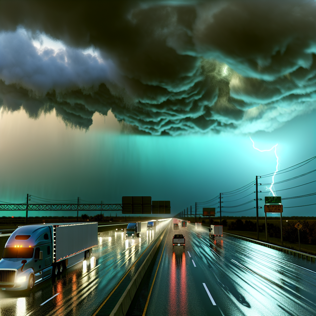
A strong coastal storm is hammering the East Coast from the Mid-Atlantic into southern New England with heavy rain, major coastal flooding at high tide, dangerous surf, and strong onshore winds gusting 40–55+ mph. Farther west, a Pacific system is spreading rain into the Pacific Northwest and California, with heavy, travel-impacting snow in the Cascades today and the Sierra tonight into Tuesday. The Southwest and Four Corners remain at risk for localized flash flooding from rounds of showers and thunderstorms.
- Expect slowdowns and possible closures along the I-95 corridor near the coast.
- Plan for chain controls and winter driving over Cascades and Sierra passes.
- Watch for rapidly rising water in arroyos and low-water crossings in AZ/NM.
Hotspot 1: Mid-Atlantic to Southern New England (Coastal Storm)
Impacts: Heavy rain, major coastal flooding at high tide, dangerous surf, and strong onshore winds with 40–55+ mph gusts. Scattered power outages and flooded/closed coastal roads are possible.
Where/Routes: Coastal NC to RI, with advisories extending from VA to southern ME. Greatest impacts along the I-95 corridor from VA–NJ–NY–CT–RI and on exposed bridges/parkways near the shore.
- Reduce speed in heavy rain; expect ponding and hydroplaning risk near coastal stretches of I-95 and adjacent arterials.
- High-profile and light loads: Use extreme caution on exposed bridges and elevated roadways due to strong crosswinds.
- Plan for detours where coastal roads flood around high tide; allow extra time for urban congestion and incident-related delays.
- Be prepared for sporadic signal outages and debris on lanes from wind and surf.
Hotspot 2: Southwest/Four Corners (Flash Flooding Risk)
Impacts: Rounds of showers and thunderstorms with locally heavy downpours and scattered flash flooding. Rapid rises likely in arroyos/washes and at low-water crossings.
Where/Routes: Central and southern Arizona and southwestern New Mexico today, at times expanding toward southwest Colorado. Watch low spots along I-10, I-17, I-40 (AZ) and I-25/I-40 (NM).
- Never drive through water covering the roadway; depth and road integrity can be deceptive in washes.
- Expect brief, sharp visibility drops under stronger storms; increase following distance.
- Stage stops and parking areas on higher ground away from dry washes.
Hotspot 3: Pacific Northwest and California Mountains (Early-Season Mountain Snow)
Impacts: Heavy snow in the Cascades today and the Sierra tonight into Tuesday, with difficult travel, low visibility, and potential chain controls. Lower elevations will see periods of rain, locally heavy at times.
Where/Routes: WA/OR Cascades including I-90 Snoqualmie Pass and other high passes; CA Sierra including I-80/Donner Pass and nearby trans-Sierra routes. Rain spreading into northern and central California today.
- Carry chains and be ready for slick, slushy, or snow-packed lanes over higher passes.
- Expect slower speeds, plow operations, and reduced visibility in snow and heavy rain.
- Plan fueling and rest stops on either side of the passes to avoid getting stuck behind closures or chain checkpoints.
Safety Tip of the Day
Match your plan to the hazards: if winds are gusting 40–55+ mph on exposed coastal bridges or ridgelines, delay or reroute high-profile and lightly loaded rigs; if water is over the road in the Southwest, turn around—don’t drive through.
Likely sources: National Weather Service, Weather Prediction Center, local NWS offices, state Departments of Transportation, and The Weather Channel.
This weather briefing was prepared exclusively for truckstopinsider.com.