Tuesday, October 14, 2025 — Trucking Weather Briefing
National Overview
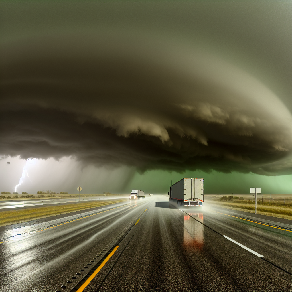
A strong Pacific storm is the big driver today, delivering heavy rain to Southern California, heavy snow in the Sierra Nevada, and showers/thunderstorms spreading into the Great Basin and the Southern/Central Rockies. Along the East Coast, a coastal low is moving away from the Mid-Atlantic with light rain tapering by evening and lingering gusts along parts of I-95. Expect periods of reduced visibility, slick roads, and wind impacts in the West, with improving but still breezy conditions near the Mid-Atlantic coast.
Hotspot 1: Southern California Coast, Transverse Ranges, and I-15 to Las Vegas
- Hazards: Heavy rain with localized flash flooding. Severe thunderstorms along the coast this morning through midday with damaging winds and an isolated tornado threat. Inland, gusty crosswinds.
- Key Routes/Areas: Los Angeles–Santa Barbara–Ventura counties and adjacent mountains affecting I-5, US-101, and I-10. Crosswind impacts possible on I-15 from the Mojave Desert toward Las Vegas.
- Driver Notes:
- Slow down for ponding and hydroplaning in heavy rainfall bands.
- Be prepared for sudden wind shifts near passes and canyon mouths; high-profile vehicles use caution on I-15.
- Have a plan for brief, intense downpours and rapidly changing visibility during storms, especially this morning through midday along the coast.
Hotspot 2: Sierra Nevada (Northern/Central CA and adjacent NV)
- Hazards: Heavy mountain snow with low visibility and periods of blowing snow. Chain controls and delays likely.
- Key Routes/Areas: I-80 over Donner Pass, US-50 over Echo Summit, and US-395 along the east side of the Sierra.
- Driver Notes:
- Expect chain requirements and extended travel times over the passes.
- Carry winter gear and allow extra stopping distance on grades and ramps.
- Stage ahead of the passes if timing is flexible; conditions will vary quickly with elevation.
Hotspot 3: Southern Rockies / Four Corners
- Hazards: Rounds of heavy rain and thunderstorms with localized flash flooding.
- Key Routes/Areas: Southeastern Arizona, southwestern New Mexico, and southern Colorado affecting I-10 (Tucson–Las Cruces/El Paso), I-40 (Flagstaff–Albuquerque), and I-25 (Albuquerque–Raton Pass area).
- Driver Notes:
- Watch for rapidly changing conditions under thunderstorms—brief heavy rain, reduced visibility, and water over low spots.
- Avoid flooded dips and washes; never drive through water-covered roads.
- Expect intermittent delays from storm cells tracking along the corridor.
Elsewhere
- Great Basin and Central Rockies: Showers and thunderstorms spreading in; anticipate wet roads and occasional lightning-related delays.
- Mid-Atlantic/I-95: Light rain tapering by evening with lingering gusts; keep both hands on the wheel, especially on exposed bridges and elevated roadways.
Safety Tip of the Day
Plan extra time, slow down before curves and standing water, and secure all loads in gusty winds. In snow zones, verify chain requirements before climbing and maintain generous following distance. If weather ahead is rapidly deteriorating, consider staging until the most hazardous band passes.
Sources: National Weather Service, NOAA Weather Prediction Center, local NWS forecast offices, state DOT road condition reports, The Weather Channel.
This weather briefing was prepared exclusively for truckstopinsider.com.