Wednesday, October 15, 2025 — Nationwide Trucking Weather Briefing
A large western trough is pushing east today. Expect valley rain and heavy mountain snow from California into the Great Basin, with showers and thunderstorms spreading from the central and southern Rockies into the central Plains and toward the Upper Midwest/Great Lakes through tonight. The Pacific Northwest turns showery late, while New England sees improving conditions compared to earlier in the week. Plan for rapidly changing road conditions across the West and periods of wet travel through the Plains and Upper Midwest.
Hotspot 1: Sierra Nevada and Adjacent Great Basin (CA/NV)
Heavy, early-season mountain snow with gusty winds will create hazardous travel at higher elevations.
- What to expect: Winter Storm Warnings continue with significant impacts focused along the Sierra crest, including Donner Pass on I‑80. Gusty winds will compound reduced visibility at the passes.
- Closures/controls: Caltrans has closed several high passes — Ebbetts (CA‑4), Sonora (CA‑108), and Monitor (CA‑89). The Tahoe/Donner area is under warnings/advisories; chain controls and occasional closures are likely.
- Key routes affected: I‑80 (Donner Summit), US‑50 (Echo Summit), US‑395, CA‑4/108/89.
- Driver notes: Expect winter driving conditions over Sierra passes today. Check chain controls and closures before ascent, allow extra time, and avoid the highest passes if you’re light or empty.
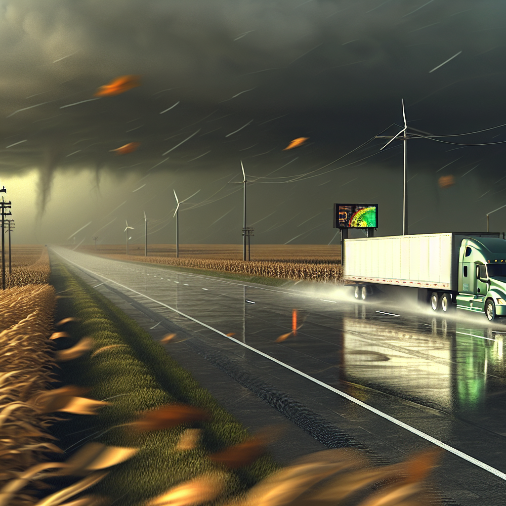
Hotspot 2: Central Rockies into the Central High Plains (NM/CO/SE WY/NE Panhandle/SW SD)
Scattered storms this afternoon and evening with a “Marginal Risk” for severe weather. Large hail is the primary hazard; a few strong wind gusts are possible and an isolated tornado cannot be ruled out.
- Impacted corridors: I‑25 (Santa Fe–Denver–Cheyenne), I‑70 (eastern CO), I‑76 (northeast CO), I‑80 (SE WY/NE Panhandle).
- Travel impacts: Brief visibility drops, hail on road surfaces, and sudden crosswinds near storms.
- Driver notes: Be prepared for hail bursts and sudden gusts under storms. Slow down in reduced visibility and consider pausing to let the strongest cells pass.
Hotspot 3: Northern/Central Plains to the Upper Great Lakes
Periods of showers and thunderstorms today and tonight with a low severe threat, but downpours will be an issue.
- Impacted corridors: Portions of I‑29, I‑35, I‑90/I‑94 and routes into the Upper Midwest/Great Lakes.
- Travel impacts: Wet roads, ponding in poor drainage areas, and reduced visibility in heavier showers.
- Driver notes: Increase following distance, watch for hydroplaning in heavier rain, and expect slower travel in downpours.
Safety Tip of the Day
Expect rapid weather transitions: snow and wind at Sierra passes, hail and gusts in the Rockies/High Plains, and heavy rain in the Plains and Upper Midwest. Verify road conditions, chain requirements, and any active warnings before departure and again before climbing mountain passes.
Sources: National Weather Service, Weather Prediction Center, Storm Prediction Center, state Departments of Transportation, The Weather Channel.
This weather briefing was prepared exclusively for truckstopinsider.com.