National Overview for Truckers — Saturday, October 18, 2025
A strong cold front is pushing from the southern Plains and Mid-South toward the Ohio Valley and Great Lakes today and tonight, producing widespread showers and thunderstorms with pockets of heavy rain. Out West, a Pacific storm brings cooler, unsettled weather to the Pacific Northwest and northern Rockies, with mountain snow developing later today into tonight and increasing winds across parts of Montana. The East Coast remains mostly cool and dry.
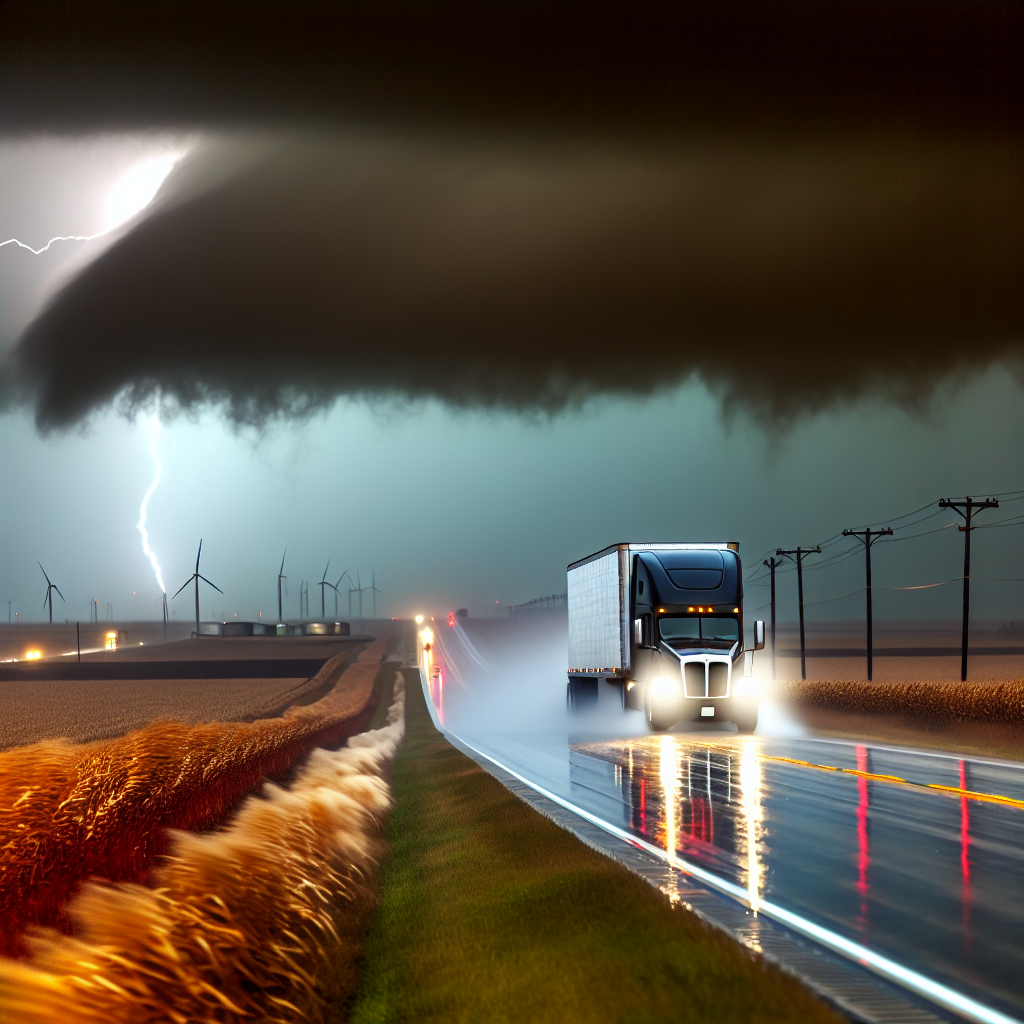
Hotspot 1: ArkLaTex, Ozarks, and Lower Ohio/Mississippi Valleys — Severe Storms and Flooding Downpours
Expect clusters and lines of thunderstorms with damaging winds, large hail, a few tornadoes, and locally heavy rain capable of flash flooding.
- Timing: Greatest risk this afternoon and evening, especially from northern Arkansas into southern Missouri and southern Illinois.
- Primary corridors at risk: I-30; I-35E/W (DFW area); I-40 (OK/AR to Memphis); I-44 (OKC–Tulsa–Springfield–St. Louis); I-49 (NW AR/SW MO); I-55 (AR/MO/IL); I-57 (southern IL).
- Geographic focus: Northeast TX, eastern OK, AR, southern MO into southern IL and western KY/TN.
- Driving advice: Build extra time for delays. Expect rapid drops in visibility, ponding, and localized flash flooding. Avoid flooded low spots and underpasses. Consider adjusting departures to miss the most intense cells, and check radar and local NWS updates before and during the run.
Hotspot 2: Northern Rockies and Pacific Northwest — Mountain Snow and Increasing Winds
Colder, unsettled weather spreads in later today into tonight, with rain in valleys/coast and accumulating snow at higher elevations. High winds develop across parts of Montana Saturday night, creating hazardous crosswinds for high-profile vehicles. Expect deteriorating conditions over higher passes.
- Key corridors: I-84 (Columbia River Gorge OR–ID), I-90 (WA–ID–MT mountain passes), I-15 and I-94 in MT (crosswind risk).
- Impacts: Slippery, reduced-traction conditions over higher passes; strong crosswinds could affect empty/light trailers and doubles in MT.
- Driving advice: Slow down over passes and increase spacing. Secure light loads and plan for alternate timing if winds peak along I-15/I-94. Check pass reports and road conditions frequently.
Hotspot 3: Interior Northeast (Early Today) — Chilly Start, Localized Slick Spots
Early frost/freeze is possible in some interior locations before a dry, cool day.
- Timing: Early morning, improving through the day.
- Impacts: Patchy slick spots on secondary roads at daybreak in sheltered valleys.
- Driving advice: Take it easy on untreated secondary routes at sunrise and watch shaded, low-lying stretches. Conditions trend seasonably cool and dry by late morning.
Safety Tip of the Day
Plan around the strongest weather windows. For severe storms and mountain winds, delay or reroute if needed, slow down in heavy rain and over passes, and maintain wide following distances. Timing and exact storm placement will evolve through the day—monitor local NWS updates and radar before long hauls and at each stop.
Sources: National Weather Service, NOAA Weather Prediction Center, NOAA Storm Prediction Center, local NWS offices, and The Weather Channel.
This weather briefing was prepared exclusively for truckstopinsider.com.