National Overview — Mon, Oct 20, 2025
A fast-moving cold front exits the East early today, leaving a band of morning to midday showers and storms across the Northeast, then turning cooler and breezy behind it. Out West, coastal rain and high-elevation snow shift from the Pacific Northwest into the northern Rockies, with gusty winds spreading into the northern Plains and Upper Midwest later today. The southern Plains stay unseasonably warm, dry, and breezy.
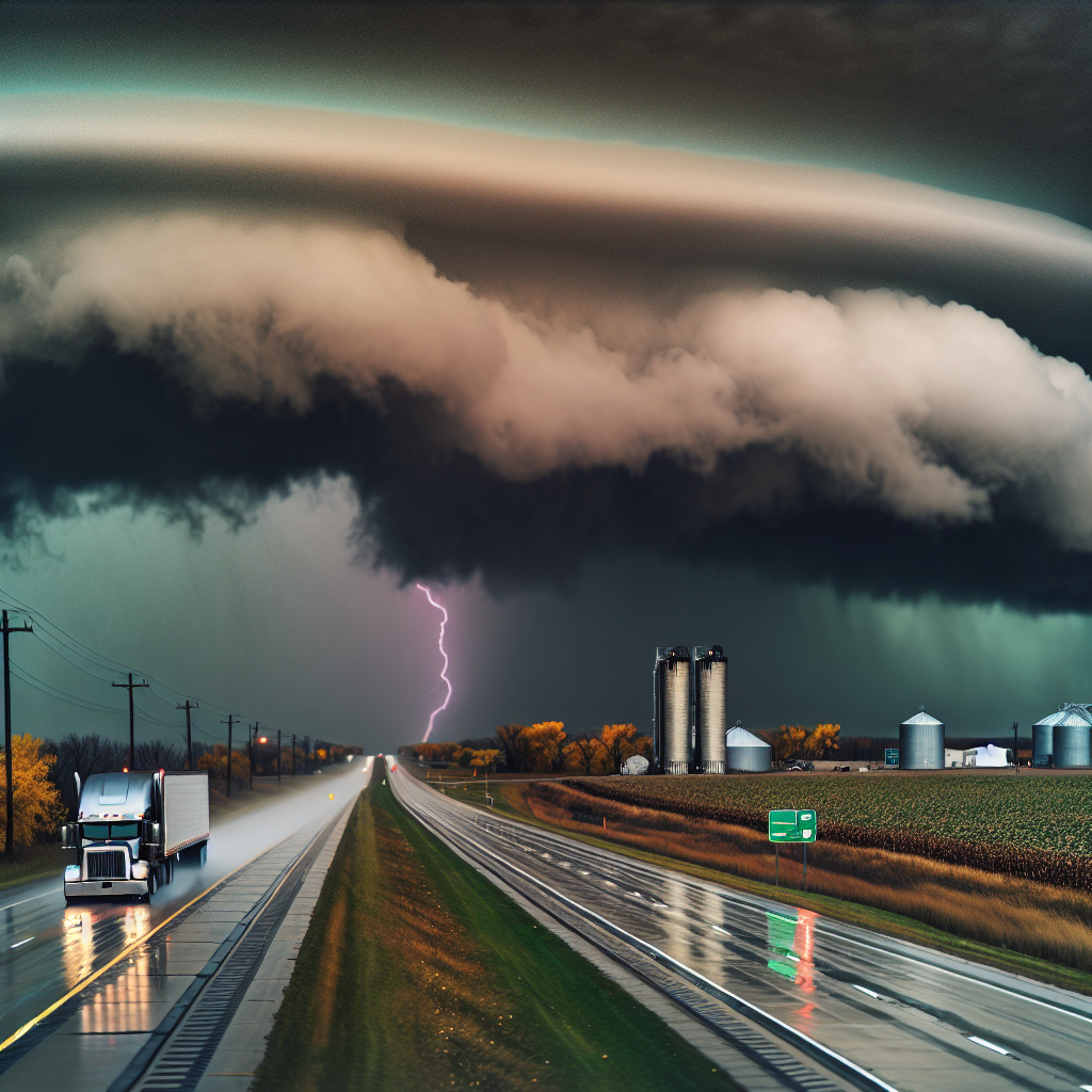
Hotspot: New England and the Northeast
Timing: This morning into early afternoon for the strongest activity; cooler and breezy conditions follow.
- Hazards: A line of strong thunderstorms and heavy rain with brief downpours; wind gusts 40–50 mph. Expect ponding on roadways and scattered tree/line issues.
- Major corridors: I-95 (CT–MA–NH–ME), I-84 (NY–CT–MA), I-90 (NY Thruway/Mass Pike), I-91 (CT–MA–VT).
- Driver guidance: Slow down under the heaviest cells; watch for rapid visibility drops and hydroplaning. Be prepared for brief delays from downed limbs or isolated power issues. Conditions improve behind the line with cooler, breezy air.
Hotspot: Northern Rockies into the Northern High Plains
Today: Mountain snow creates slick, reduced-visibility travel over higher passes; gusty winds spread onto adjacent plains later today and tonight.
- Snow-impacted routes: I-90 (ID/MT, including Lookout Pass), I-15 (MT), US-2 over Marias Pass.
- Wind/crosswind corridors later and tonight: I-94 (MT/ND) and I-90/I-94 (SD–MN–WI).
- Driver guidance: Expect slower travel over passes and occasional whiteout bursts in heavier snow. On the plains, anticipate crosswinds, especially for high-profile and light loads.
Hotspot: Pacific Northwest to Northern Rockies Transition
Rounds of coastal/valley rain with hazardous crosswinds near gaps and exposed bridges. Accumulating snow at higher elevations in the Cascades, Blues, and Northern Rockies.
- Key corridors: I-84 (Columbia River Gorge/Blue Mountains) and I-90 (Snoqualmie Pass and east into ID/MT).
- Driver guidance: Watch for standing water in valleys and strong gap winds on bridges/viaducts. Higher passes may become snow-packed at times with reduced visibility.
Safety Tip of the Day
Crosswinds and mountain passes demand space and patience. Reduce speed in gusty corridors, increase following distance, and secure all exterior equipment. Check your nearest NWS office for any local wind or snow advisories before departure.
Sources: National Weather Service, NOAA Weather Prediction Center, Local NWS Forecast Offices, State DOT traveler information, The Weather Channel.
This weather briefing was prepared exclusively for truckstopinsider.com.