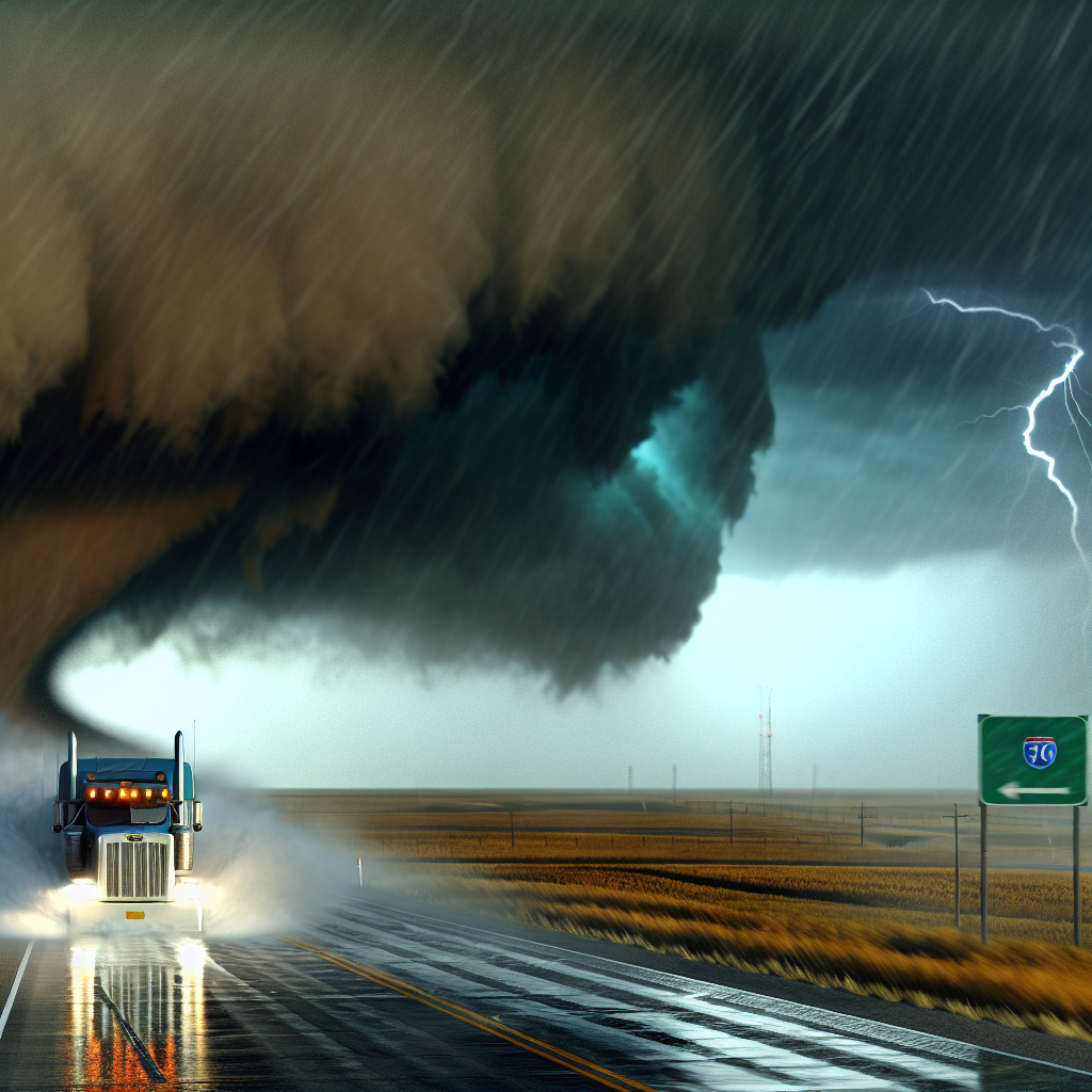
National Overview — Thursday, October 23, 2025
A relatively quiet day nationally with no organized flash-flood threat and only spotty precipitation. Cool, breezy conditions persist around the Great Lakes with lake-effect showers. Winds increase across parts of the High Plains. Heavier mountain snow is expected to ramp up mainly Friday into the weekend, especially across the northern Rockies and northern Plains.
Great Lakes (NY/PA/OH)
Lake-effect rain and snow showers with gusty winds continue, creating intermittent slick spots and crosswind issues, especially downwind of Lake Erie. Conditions ease late tonight into Friday.
- Primary corridors: I-90 from Cleveland to Buffalo, I-79 near Erie, and I-81 east of Lake Ontario.
- Impacts: Brief reductions in visibility under heavier showers, wet/icy patches in colder pockets, and crosswinds on exposed bridges and elevated roadways.
- Timing: Ongoing today; gradual improvement late tonight into Friday.
Southern California
Offshore/Santa Ana winds combined with very low humidity will produce critical fire-weather conditions and hazardous crosswinds, especially through passes and canyons. Expect the strongest gusts through key mountain gaps and along exposed stretches.
- Primary corridors: I-5 over the Grapevine, I-15 (Cajon Pass), I-210/CA-14, and I-8 in inland valleys and mountain areas.
- Impacts: Difficult control for high-profile and light/empty trailers, potential utility PSPS actions, and areas of blowing dust reducing visibility.
- Timing: Strengthening today with peak impacts into Friday.
Southeast Wyoming and Adjacent High Plains
High winds increase today and Friday in the wind-prone gaps, bringing dangerous crosswinds for high-profile rigs.
- Primary corridors: I-80 between Laramie and Cheyenne (Arlington/Buford), and I-25 near Bordeaux.
- Impacts: Elevated blowover risk for high-profile vehicles and intermittent travel restrictions possible in wind-prone segments.
- Timing: Increasing today; strongest impacts through Friday.
Heads-Up: Friday into the Weekend
Winter storm risk increases across the northern Rockies and northern Plains (MT/WY into the Dakotas). Accumulating snow and worsening travel are possible on I-90 and I-94 once the system arrives. Monitor local NWS updates and be prepared for deteriorating conditions.
Driver Safety Tip of the Day
Plan routes and schedules to avoid peak wind periods in known gap/pass corridors. Reduce speed and increase following distance in gusty crosswinds; consider postponing moves with empty or light high-profile trailers through Southern California passes and southeast Wyoming gaps. For Great Lakes routes, expect quick weather changes near lake bands and watch for slick spots under heavier showers. If heading toward the northern Rockies/northern Plains late Friday into the weekend, build extra time into your schedule for potential winter travel impacts.
Sources: National Weather Service, Weather Prediction Center, local NWS offices, state Departments of Transportation, The Weather Channel.
This weather briefing was prepared exclusively for truckstopinsider.com.