U.S. Trucking Weather Briefing – Wednesday, October 29, 2025
Widespread showers and thunderstorms extend from the South into the Ohio Valley and Northeast today, while dry, gusty winds bring elevated to critical fire weather to Southern California and much of South Texas. Light mountain snow persists early in the northern Cascades and northern Rockies. Expect changing advisories; check local NWS updates before departure.
Hotspot 1: Lower Mississippi/Tennessee–Ohio Valleys into the Appalachians
Periods of rain with embedded thunderstorms as a front pushes east today. Pockets of heavier downpours will reduce visibility and create ponding.
- Impacted corridors: I-40 (AR–TN), I-65 (AL–TN–KY), I-75 (GA–OH), and I-81 (TN–VA).
- Main hazards: Rapid visibility drops in heavier cells, hydroplaning on water-covered lanes, slowdowns near metro stretches.
- Driving strategy: Reduce speed in heavy rain, increase following distance, avoid standing water, and allow extra time along these routes.
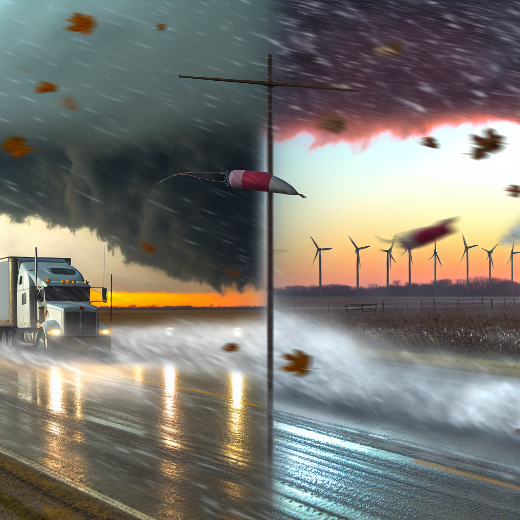
Hotspot 2: Southern California and South Texas – Dry, Gusty Winds
Santa Ana winds in Southern California and post-frontal north to northwest winds in Deep South Texas are producing critical fire weather. Peak gusts 30–45 mph with very low humidity. Hazardous crosswinds expected for high-profile vehicles.
- Southern California: Crosswinds and localized dust on I-5 over the Grapevine/Tejon Pass, I-15 (Cajon Pass), and corridor routes (I-210/118/14) around L.A./Ventura.
- South Texas (Rio Grande Valley/Coastal Bend): Blowing dust/grass fire potential and difficult handling on I‑69C/I‑69E/I‑2 and I‑37; Red Flag Warnings and wind advisories in effect.
- Driving strategy: Consider delaying trips over exposed passes if running light/empty, secure all equipment and tarps, keep two hands on the wheel in gust zones, and give extra space when overtaking.
Hotspot 3: Northern Cascades and Northern Rockies – Mountain Snow
Light snow at higher elevations early today before diminishing; slick spots possible on passes.
- Impacted passes: Lookout Pass on I‑90 (ID–MT) and Stevens Pass on US‑2 (WA).
- Main hazards: Intermittent snow-covered lanes, reduced traction, and icy bridges/ramps during the early hours.
- Driving strategy: Allow extra braking distance, brake gently on descents, and check chain/snow tire requirements as needed.
Driver Safety Tip of the Day
Build flexibility into your schedule to work around the worst of today’s hazards: heavy rain bands in the TN/Ohio Valleys, strong wind windows in Southern California and South Texas, and early pass conditions in the northern Rockies/Cascades. Verify route-specific advisories with your local NWS office before you roll.
Sources: National Weather Service, Weather Prediction Center, local NWS forecast offices, and The Weather Channel.
This weather briefing was prepared exclusively for truckstopinsider.com.