National Overview — Friday, October 31, 2025
A fast‑moving, intense low crossing New England brings widespread rain there early today, while a short‑lived atmospheric river targets the Pacific Northwest with periods of heavy rain through early Saturday. Elsewhere, most of the Lower 48 is dry for Halloween. Expect cooler‑than‑normal temperatures from the Plains to the East, with pockets of lake‑effect precipitation downwind of the Great Lakes. From the Rockies to the West Coast, conditions are warmer and mostly dry outside the Pacific Northwest.
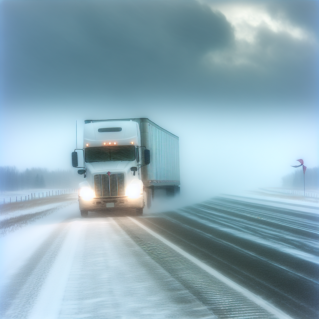
Hotspot: Pacific Northwest (WA, northwest OR)
Periods of heavy rain from an atmospheric river will impact the region today into early Saturday. Expect hydroplaning risk, ponding in low spots, and reduced visibility in heavier bursts. Flood risk is limited, but locally heavy rates can overwhelm drainage at times.
- Main corridors: I‑5 (Seattle–Portland), I‑84 (Columbia River Gorge), US‑101 (coastal).
- Driving notes: Slow down on oil‑slicked first hours of rain, increase following distance, and watch for standing water in the right lane and on bridge decks. Plan extra time through the Gorge and coastal stretches where rainfall can be most persistent.
Hotspot: New England (ME, NH, VT, MA, RI, CT)
A strong, near‑record October cyclone is moving through with widespread rain, especially early. Leaf‑clogged drains can lead to brief urban runoff and poor drainage issues. Roads will be slick with periods of reduced visibility.
- Main corridors: I‑95 (southern New England into coastal ME), I‑90/Mass Pike, I‑91/93.
- Driving notes: Watch for water pooling near on/off ramps and in low‑lying city stretches. Brake gently, use headlights in rain, and expect slower traffic through metro corridors during heavier showers.
Hotspot: Great Lakes and Northern/Central Appalachians (MI, WI, OH, PA, NY, WV)
Colder air is producing bands of lake‑effect rain and wet snow. These bands can cause rapid visibility drops and isolated slick spots, especially in higher terrain and traditional snowbelts.
- Main corridors: I‑90/I‑94 (WI–MI and NY), I‑75 (northern MI), I‑79 (northwestern PA), I‑81 (central/northern NY).
- Driving notes: Expect “on/off” conditions—wet to slushy within miles. Avoid sudden lane changes in bursts of heavy precip, and be prepared for variable traction on bridges and overpasses.
Elsewhere Across the Nation
- Plains to the East: Cooler than normal, mostly dry outside the Great Lakes and New England influences.
- Rockies to West Coast: Warmer and mostly dry, excluding the Pacific Northwest rain band.
Safety Tip of the Day
First hour of rain is the slickest—oil lifts to the surface. Reduce speed 5–10 mph below your normal wet‑weather pace, keep at least 6 seconds of following distance, and avoid cruise control on wet roads.
Likely sources: National Weather Service, Weather Prediction Center, local NWS offices, state Departments of Transportation, The Weather Channel.
This weather briefing was prepared exclusively for truckstopinsider.com.