U.S. Trucking Weather Briefing — Saturday, November 1, 2025
An atmospheric river is slamming the Pacific Northwest with heavy coastal rain, high surf, gusty winds, and mountain snow across the Cascades. A cold front is sliding east from the Mississippi Valley with scattered showers; the East turns cooler with pockets of lake-effect precipitation, while the interior West runs warmer than normal. The Weather Prediction Center notes a Marginal flash‑flood risk today and a high risk for heavy snow in select mountain zones.
- Greatest operational impacts: Washington/Oregon coasts and I‑5 corridor, Cascade passes (including I‑90 Snoqualmie), Coastal South Texas (I‑37, I‑69E/US‑77/US‑83), and downwind of Lakes Erie and Ontario (I‑90/I‑81).
- Elsewhere: Scattered, mainly light showers ahead of the eastward‑moving cold front; anticipate wet pavement but generally minor disruptions.
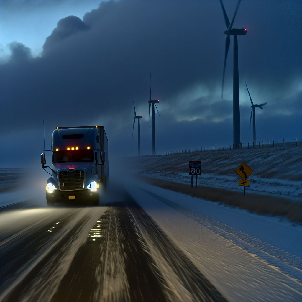
1) Pacific Northwest (WA/OR)
Hazard: Heavy rain (2–3 inches along the coast; 3–5 inches in the Olympic and Cascade ranges), high surf and gusty winds; accumulating snow in the Cascades.
- Road impacts: Expect ponding and hydroplaning risk along the I‑5 corridor with occasional crosswinds, especially near exposed bridges and gaps.
- Mountain travel: Snow/slush and reduced traction over the Cascade passes, including I‑90 Snoqualmie, with periods of low visibility. Plan for slower speeds and longer stopping distances; consider alternate timing to avoid the heaviest bursts.
- Operations: Secure light/empty trailers against gusts; allow extra time for coastal and mountain runs. Watch for rapidly changing conditions under heavier rain bands.
2) Coastal South Texas (Coastal Bend to Rio Grande Valley)
Hazard: Marginal risk for severe thunderstorms late afternoon/evening; primary threat is large hail with any supercell near the coast.
- Road impacts: Brief hail, heavy downpours, and slick spots from Corpus Christi to Brownsville, affecting I‑37 and the I‑69E/US‑77/US‑83 corridors.
- Timing: Greatest concern late day into evening. If possible, target earlier deliveries or stage equipment under cover.
- Operations: Slow down in intense cells; increase following distance. Protect windshields and rooftop equipment where hail is possible.
3) Eastern Great Lakes (NY/PA/MI)
Hazard: Light lake‑effect rain/snow showers behind the departing system.
- Road impacts: Brief visibility drops and isolated slick patches downwind of Lakes Erie and Ontario, including stretches of I‑90 from Buffalo–Rochester–Syracuse and I‑81 north of Syracuse.
- Operations: Expect quickly changing conditions under heavier bands; reduce speed during sudden visibility reductions and watch for spotty slush.
Safety Tip of the Day
Hydroplaning and slushy pass conditions are top risks today. Reduce speed before entering water‑covered lanes or wintry stretches, keep extra following distance, and make smooth, deliberate steering and braking inputs. Check pass conditions and road reports before committing to mountain routes.
Likely sources: National Weather Service, NOAA Weather Prediction Center, NOAA Storm Prediction Center, state DOT road condition services, and The Weather Channel.
This weather briefing was prepared exclusively for truckstopinsider.com.