National Overview — Thursday, Nov 6, 2025
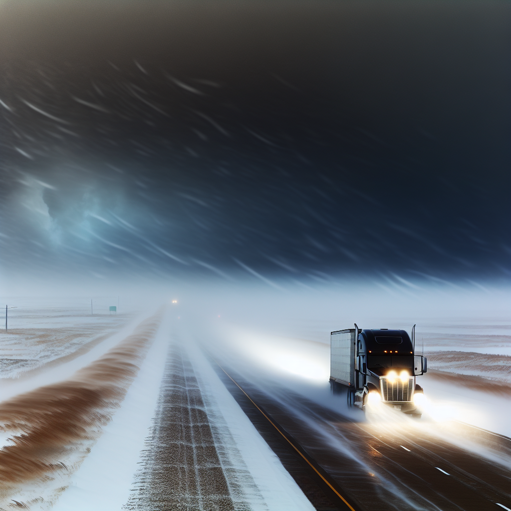
A quick-hitting Pacific atmospheric river drives today’s pattern. Expect heavy rain along the Pacific Northwest coast into far northern California, with heavy mountain snow centered on the Washington Cascades. The Southwest and Southern Plains stay warm and dry. The Northeast cools behind a departing front, while a more notable push of colder air holds off for the Upper Midwest until late Friday into Saturday.
Pacific Northwest Coast & Far Northern California
Periods of moderate to heavy rain will impact the coast and I-5 corridor from Redding–Medford–Portland–Seattle, with additional issues along US-101 on the coast.
- Impacts: Ponding on roadways, hydroplaning risk, and reduced visibility in heavier bands; brief, localized flooding possible in coastal ranges.
- Key routes: I-5 (Redding to Seattle), US-101 along the coast.
- Driver actions: Reduce speed in heavy rain, increase following distance, use headlights, and avoid flooded shoulders or standing water.
Washington Cascades (Highest Impacts)
Heavy mountain snow continues through early Friday with 12–18+ inches in higher terrain. Chain controls and difficult travel are likely over the major passes.
- Impacts: Snow-covered roads, rapid changes in visibility, and challenging grades.
- Key routes: I-90 (Snoqualmie Pass), US-2 (Stevens Pass), and other Cascade passes.
- Driver actions: Carry chains and be prepared to install them; allow extra time over the passes; stage fuel, winter gear, and check tire condition before ascent.
Northern Rockies (ID/MT)
Moisture spilling east brings areas of accumulating high-elevation snow, producing slick conditions over mountain passes.
- Impacts: Icy/slick stretches, slushy transitions near the snow line, periods of reduced visibility.
- Key routes: I-90 over Lookout Pass; I-15 across higher passes near the MT/ID border.
- Driver actions: Watch pavement temperatures on shaded curves, brake gently on descents, and confirm pass status before departure.
Driver Safety Tip of the Day
Match your following distance to conditions: in heavy rain or snow, target at least a 7–8 second gap. This gives space to brake smoothly, avoid abrupt lane changes, and react to sudden slowdowns near grades and work zones.
Sources: National Weather Service, Weather Prediction Center, local NWS forecast offices, state DOT road condition reports, The Weather Channel.
This weather briefing was prepared exclusively for truckstopinsider.com.