National Overview for Truckers — Friday, November 7, 2025
A cold front is sweeping east today, bringing scattered showers and a few strong to severe storms from the Tennessee into the Ohio Valley. Northern New England turns colder tonight with some rain changing to snow. The Pacific Northwest sees another round of mixed precipitation with lowland rain and mountain snow. Excessive rainfall/flash-flood risk is low nationwide today, though brief ponding is possible under heavier showers. Warm, above-normal temperatures persist across much of Texas. Looking ahead, expect a stronger push of cold, windy conditions into the Plains and Mississippi Valley over the weekend, with increasing crosswind concerns on exposed stretches.
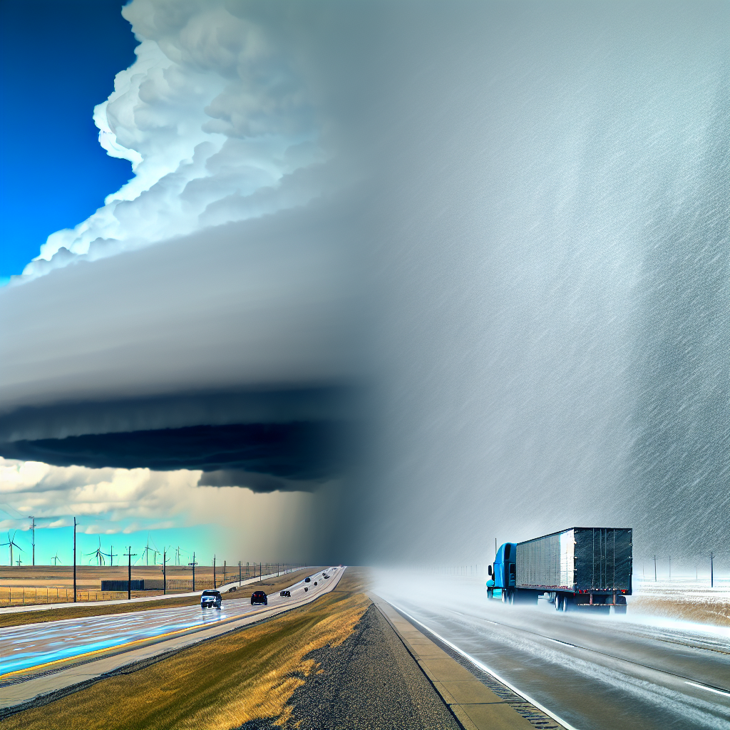
Hotspot 1: Tennessee & Ohio Valleys — Severe Thunderstorms
What to expect: Scattered thunderstorms with a slight (level 2/5) severe risk. Damaging wind gusts are the primary hazard; a brief tornado is possible. Greatest timing is from afternoon into evening.
- Primary routes: I-40, I-65, I-75, I-71, and I-64 across Tennessee, Kentucky, southern Indiana, and southern Ohio.
- Driving impacts: Sudden strong crosswinds, rapid drops in visibility, and brief roadway ponding in heavier cells.
- Operational tips: Reduce speed in gusts, increase following distance, and stage stops to avoid the strongest storms during the late-day window where possible.
Hotspot 2: Pacific Northwest to Northern Rockies — Mixed Precipitation and Mountain Snow
What to expect: Periods of rain in the lowlands with wet snow over higher passes. Slick travel is possible where snow mixes in.
- Primary routes: Washington/Oregon Cascades and into Idaho/Montana high terrain. Watch I-90 (Snoqualmie Pass), I-84 (Columbia Gorge/Blue Mountains), and approaches to I-5 for ponding and gusty showers.
- Driving impacts: Slushy, slick spots on passes; changing traction with elevation; gusty showers producing spray and reduced visibility.
- Operational tips: Check pass status before climbing, carry traction devices where required, and allow extra time for downhill braking on wet or slushy grades.
Hotspot 3: Northern New England — Late-Day Rain to Snow
What to expect: Colder air arrives with rain changing to a rain/snow mix or wet snow tonight. Visibility reductions and slushy spots are possible after dark.
- Primary routes: Northern New Hampshire and northern Maine, including I-93 through the White Mountains and I-95 north of Bangor.
- Driving impacts: Quick onset of slush and reduced visibility during the transition; wet surfaces may become slick over higher terrain.
- Operational tips: Plan earlier deliveries north of Bangor and through the Whites; slow before curves and bridges, and avoid sudden lane changes as surfaces transition.
Additional Notes for Today
- Flash-flood threat is minimal (no highlighted risk), but brief ponding can occur under heavier showers.
- Texas remains warm with above-normal temperatures; monitor equipment and tire pressures accordingly.
- Weekend outlook: A stronger push of cold, windy conditions builds into the Plains and Mississippi Valley—expect deteriorating wind chill and increasing crosswinds on exposed stretches and elevated spans.
Concluding Safety Tip
If your route crosses both rain and higher terrain today, plan daylight mountain travel where possible: tackle passes earlier, verify pass restrictions, and keep a wider buffer in traffic. As the front moves east and winds increase into the weekend, secure light or empty trailers, reduce speed in gusts, and stage stops ahead of the strongest weather windows.
Sources: National Weather Service, Weather Prediction Center, Storm Prediction Center, local NWS Forecast Offices, state DOT road reports, and The Weather Channel.
This weather briefing was prepared exclusively for truckstopinsider.com.