National Overview — Wednesday, Nov 12, 2025
Early-season Arctic air lingers across the eastern U.S., delivering widespread freezes into the Southeast and even parts of Florida this morning. Downwind of the Great Lakes, lake-effect snow bands remain active with occasional whiteouts in heavier squalls. Out West, a steady Pacific storm train keeps the Northwest wet and breezy with mountain snow at higher passes. The Weather Prediction Center also maintains a Marginal flash-flood risk along parts of the West Coast today.
Hotspot 1: Great Lakes Snow Belts — IL/IN/MI and Western NY
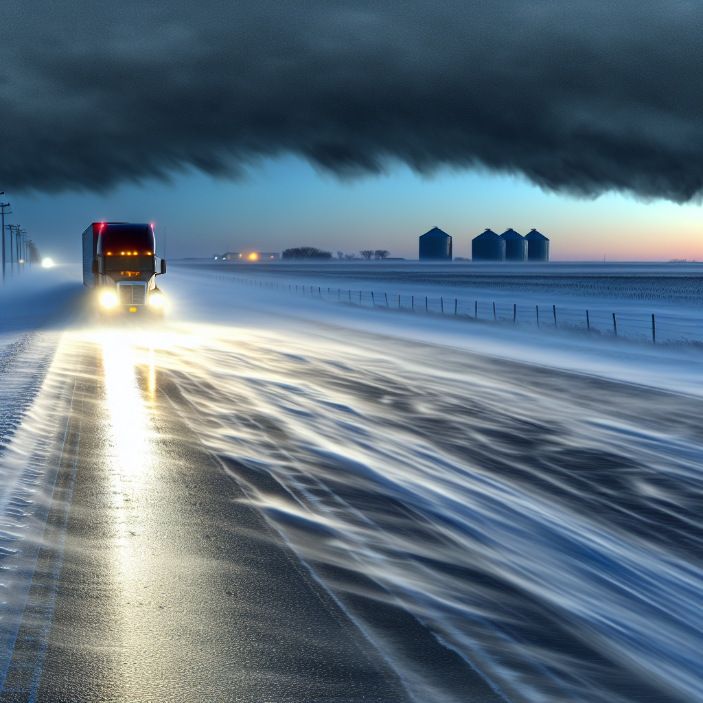
Intense lake-effect snow and squalls continue, including localized thundersnow. Expect near-zero visibility and rapid road icing inside the strongest bands.
- Primary corridors:
- I-90/94: Chicago–Gary–South Bend corridor
- I-96/I-196: Near and west of Grand Rapids, MI
- I-90 NY Thruway: Buffalo–Rochester–Syracuse
- I-81: East of Lake Ontario (Tug Hill)
- Driving impacts:
- Sudden whiteouts with quick snow bursts
- Rapid surface glazing and reduced traction
- Sharp variability over short distances; conditions can deteriorate in minutes
- Logistics notes:
- Build extra slack into schedules where bands are persistent
- Stage fuel and de-ice supplies near lake belts; stagger crew start times to avoid peak squalls
Hotspot 2: Northeast Coastal Winds — Southern New England and the NY Metro
Post-frontal gales over adjacent waters are pushing inland as gusty west winds. Expect crosswinds on elevated and exposed spans, with the strongest gusts near shorelines through today.
- Primary corridors:
- Coastal I-95 from NYC through CT, RI, into MA
- Major bridges and elevated roadways in the metro and nearshore areas
- Driving impacts:
- Buffeting crosswinds for high-profile/empty trailers
- Blowing spray and variable visibility near the shoreline
- Operations:
- Monitor any wind advisories/restrictions on bridges
- Reduce speed and increase following distance on exposed sections
Hotspot 3: Pacific Northwest Rain and High-Elevation Snow — WA/OR
Periods of moderate to heavy rain with breezy winds. Wet snow at higher Cascade passes will cause intermittent slush. Ponding and reduced traction are concerns in heavier showers. WPC flags a Day-1 Marginal flash-flood risk along parts of the West Coast.
- Primary corridors:
- I-5: Seattle–Portland for heavy rain and spray
- I-84: Columbia River Gorge for strong, channelized winds and slick pavement
- I-90: Snoqualmie Pass for intermittent wet snow/slush at higher elevations
- Driving impacts:
- Hydroplaning risk in heavier bands
- Reduced visibility due to spray and low clouds
- Slushy, variable traction at the passes
- Operations:
- Allow extra braking distance and avoid standing water
- Time mountain crossings for daylight if possible
Bonus: Florida and Southeast Freeze This Morning
Freeze Warnings extend into north Florida and the eastern Florida Panhandle. Protect temperature-sensitive freight and watch for a few icy bridge decks at daybreak in colder rural spots.
- Main routes: I-10 (FL Panhandle), US-231, US-319
- Operations: Preheat cabs and check coolant/tire pressures before rollout; verify reefer setpoints for cold-sensitive loads
Quick Safety Tip of the Day
If you encounter a lake-effect snow squall with plunging visibility, avoid sudden braking or lane changes. Reduce speed smoothly, increase following distance, and use low-beam headlights. If conditions become a whiteout, exit to a safe location rather than stopping in a live lane.
Sources: National Weather Service (local forecast offices and marine forecasts), Weather Prediction Center, The Weather Channel, Associated Press, The Washington Post, and regional reports in Florida.
This weather briefing was prepared exclusively for truckstopinsider.com.