National Overview — Saturday, November 15, 2025
A powerful Pacific system is driving an atmospheric river into Southern California with a Moderate Risk for excessive rainfall and dangerous flooding. Farther east, much of the central and southern Plains and the Midwest remain unusually warm. Late today into Sunday, a wintry mix develops across northern New York and northern New England, with several inches of snow in higher elevations and slippery travel in the mountains.
Hotspot 1: Southern California (Los Angeles, Ventura, Santa Barbara counties)
Heavy rain continues this morning around the Los Angeles basin as the atmospheric river persists. Expect flash flooding, debris flows near recent burn scars, and strong onshore winds in the coastal ranges. Water-covered lanes, rocks and mud on grades, and reduced visibility are likely.
- Primary corridors at risk: US-101, I-5 (including the Grapevine vicinity), I-10, I-405, and CA-1.
- Hazards: Rapid lane ponding, debris on canyon and coastal grades, localized roadway washouts, and gusty crosswinds in gaps and passes.
- Operational notes for drivers:
- Slow down in heavy rain; never drive through flooded lanes.
- Expect chain control and CHP escorts over steep grades if rain rates trigger debris issues; be prepared for detours.
- Use lower gears on long, wet descents; increase following distance and watch for sudden stops near flooded underpasses.
- Check canyon routes for rockfall and mud, especially after downpours.
Hotspot 2: Upper Ohio Valley (eastern OH into western PA)
This afternoon into evening, scattered showers and a few thunderstorms may produce strong, locally damaging wind gusts. Brief hazardous crosswinds and ponding are possible as cells move through.
- Primary corridors: I-70, I-71, I-76 (Pennsylvania Turnpike), I-79, and I-80.
- Timing: Late day through the evening commute and early night.
- Operational notes for drivers:
- Secure light/high-profile trailers; expect sudden gusts with passing showers or storms.
- Reduce speed on elevated sections and bridges where crosswinds are more pronounced.
- Watch for standing water in right lanes and on-ramps; avoid hard braking in wet conditions.
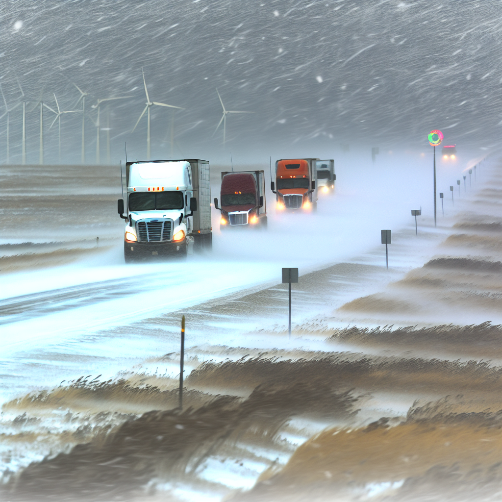
Hotspot 3: Northern NY and Northern New England (Adirondacks, Greens, Whites, interior ME)
A late-day transition to a wintry mix sets in, with pockets of freezing rain and accumulating snow tonight into Sunday. Expect slick roads and reduced visibility in higher terrain; several inches of snow are possible in the mountains.
- Primary corridors: I-87 (Adirondacks), I-89, I-91, and I-93.
- Hazards: Icy spots developing after sunset, snow-covered stretches at elevation, and poor visibility in heavier bursts.
- Operational notes for drivers:
- Plan for winter driving after dark—allow extra time on mountain passes and summits.
- Treat bridges/overpasses as icy first; brake gently and increase following distance.
- Carry winter gear and ensure defrosters, wipers, and lights are in top condition.
Safety Tip of the Day
When conditions are changing quickly—heavy rain out West and wintry mix in the Northeast—set conservative go/no-go thresholds. If rainfall is overwhelming drainage or temperatures are dropping toward freezing along your route, stage early at a safe stop, reassess radar and road reports, and resume only when impacts ease.
Sources: National Weather Service, Weather Prediction Center, Storm Prediction Center, local NWS offices, state Departments of Transportation, and The Weather Channel.
This weather briefing was prepared exclusively for truckstopinsider.com.