National Overview — Wednesday, November 19, 2025
A slow-moving Pacific low keeps the Southwest unsettled today with periodic rain and a few thunderstorms. Heavy mountain snow continues in the Sierra Nevada and the southern Utah ranges. Moisture begins shifting into the Southern Plains tonight, bringing increasing showers and storms. The South stays warmer than average, while most other regions remain comparatively quiet.
Hotspot: Desert Southwest (western/central AZ, far SE CA, southern NV)
Expect periods of moderate to locally heavy rain with isolated thunderstorms. Pockets of flash flooding are possible, especially in washes and low-lying spots. Road spray, ponding, and brief visibility drops will be the main driving issues.
- Primary corridors: I-10 (CA/AZ), I-8 (AZ), I-17 (Phoenix–Flagstaff), I-15 (Las Vegas area).
- Impacts: Hydroplaning risk, water over dips and washes, rapid changes in visibility under heavier cells.
- Driver notes: Reduce speed in heavy rain, avoid flooded crossings, add following distance, and plan extra fuel/time cushions around urban corridors (Phoenix, Las Vegas).
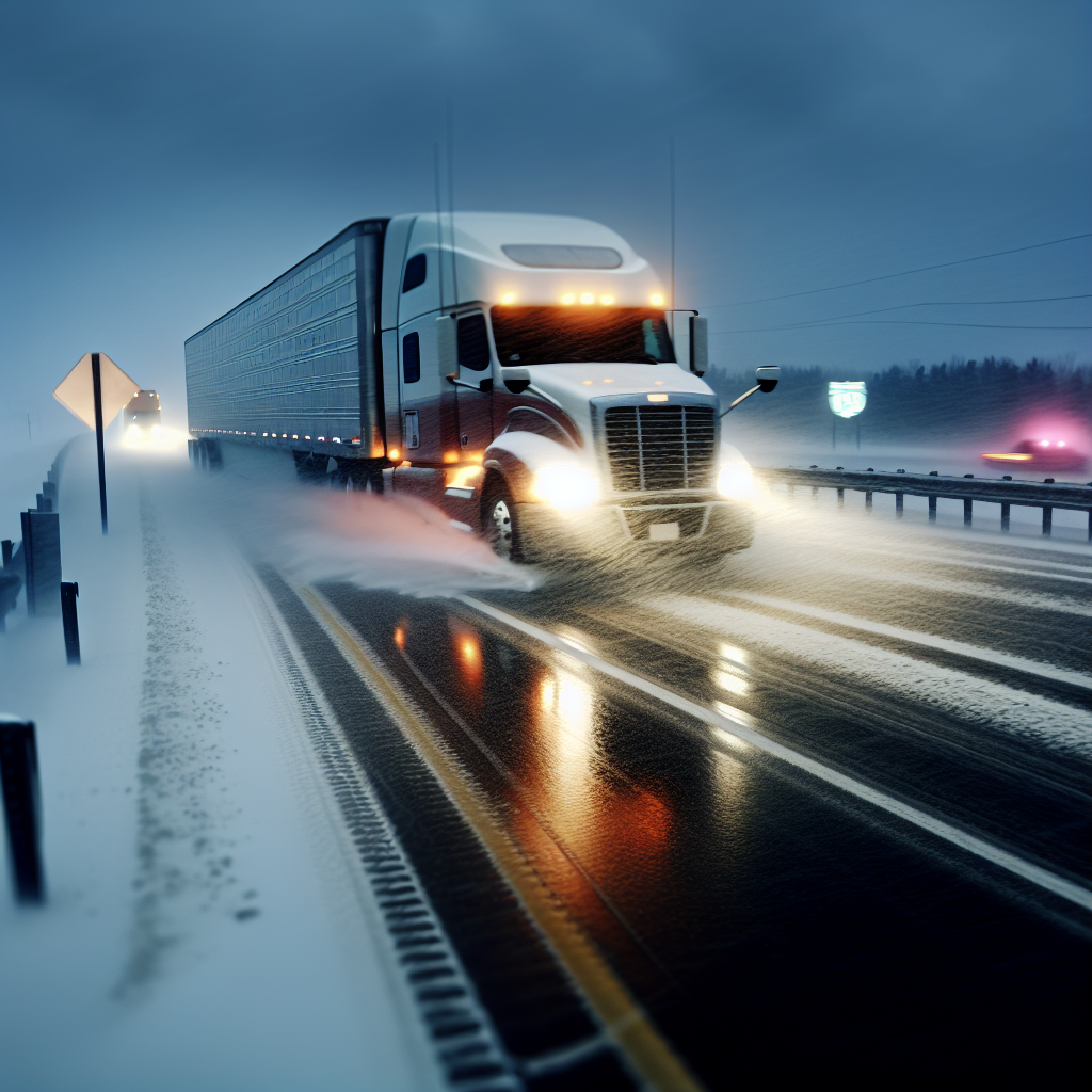
Hotspot: Sierra Nevada (CA) and Southern Utah Mountains
Ongoing moderate to heavy snow at higher elevations with reduced visibility and slick passes. Additional accumulations are likely, making trans-mountain travel slow and occasionally hazardous.
- Primary corridors: I-80/Donner Pass, US-50 over the Sierra; higher corridors on I-15 in southwest/central UT and I-70 over the high terrain.
- Impacts: Snow-covered lanes, packed snow/ice on grades, periodic whiteout conditions in heavier bursts.
- Driver notes: Allow extra time for climbs/descents, increase following distance, and stage equipment for winter operations (defrosters, wipers, traction aids). Consider lower-elevation alternates where feasible.
Hotspot: Southern Plains (late today–tonight)
From the TX Hill Country into north TX and southern OK, showers and thunderstorms increase late today through tonight. Periods of heavy rain could trigger localized flash flooding, and a few storms may be strong to marginally severe toward evening/overnight.
- Primary corridors: I-35 (San Antonio–Austin–DFW–OKC), I-20 (west/east TX), I-44 (OK).
- Impacts: Ponding on interstates, reduced visibility in downpours, localized flash flooding in poor drainage areas.
- Driver notes: If possible, schedule urban transits outside peak downpour windows, slow before entering heavy rain, and avoid low-water crossings.
Other Regions
Outside the Southwest, Sierra/Utah mountains, and Southern Plains, most areas are comparatively quiet today. The South trends warmer than average. Continue routine checks and monitor updates for any localized issues.
Trucker Safety Tip of the Day
Rain and mountain snow demand space and patience: double your following distance, brake early and smoothly, keep lights on for visibility, and never drive through water covering the road—especially in Southwestern washes. In snowy passes, clean lights/mirrors at each stop and maintain momentum on grades to avoid wheel spin.
Sources: National Weather Service, Weather Prediction Center, local NWS forecast offices, state DOT road reports, The Weather Channel.
This weather briefing was prepared exclusively for truckstopinsider.com.