
National Overview — Saturday, September 20, 2025
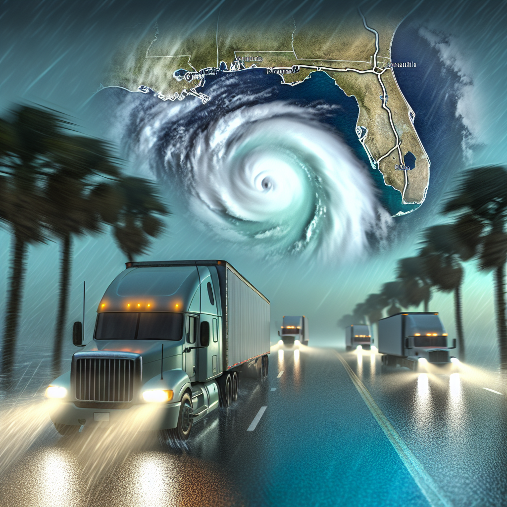
Quiet weather covers most of the country today. Late‑season heat holds across the Southeast and the Desert Southwest. Scattered thunderstorms develop from the central and southern Plains into the Mid‑Mississippi Valley. No tropical systems are expected to impact the U.S. mainland today; Tropical Storm Gabrielle remains over the open Atlantic.
Hotspot 1: Central Plains to Mid‑Mississippi Valley
Expect scattered thunderstorms capable of brief downpours, frequent lightning, and gusty outflow winds. Short, sharp slowdowns are possible where storms cross major corridors.
- States/lanes: OK, KS, MO into IL
- Watch: I‑35 (OKC–Wichita–Kansas City), I‑44 (OKC–Tulsa–Springfield–St. Louis), I‑70 (Kansas City–St. Louis), I‑55 (St. Louis–Springfield, IL–Chicago)
- Impacts: Ponding on roads, rapid visibility drops, and sudden crosswinds from outflows—especially near storm outflow boundaries and open stretches.
- Driver notes: Allow extra following distance, use headlights in heavy rain, avoid parking under isolated trees during lightning, and consider brief holds for the heaviest cells to pass.
Hotspot 2: Southeast and Tennessee Valley
Heat and humidity persist, with highs in the upper 80s to mid‑90s. Heat stress is the primary concern for drivers and equipment.
- States/lanes: AL, GA, TN
- Watch: I‑65 (Birmingham–Nashville), I‑75 (Atlanta north/south), I‑40 (Memphis–Nashville–Knoxville), I‑20 (AL–GA)
- Impacts: Increased fatigue risk, higher cab and trailer temps, and added strain on cooling systems and tires.
- Driver notes: Hydrate routinely, schedule extra breaks in shade where possible, and perform mid‑day checks on coolant, belts, and tire condition.
Hotspot 3: Desert Southwest
Hot to very hot conditions (upper 90s to near 105°F) with low humidity. Long, sun‑exposed runs will elevate heat stress and tire blowout risk.
- States/lanes: AZ and adjacent desert corridors
- Watch: I‑10 and I‑17 around Phoenix
- Impacts: Engine and brake overheating on grades, accelerated tire wear, and dehydration risk.
- Driver notes: Top off coolant before long hauls, verify tire pressures before rollout, carry extra water, and reduce speed on hot, rough pavement to limit heat build‑up.
Concluding Safety Tip
Gusty outflow winds near thunderstorms can create abrupt crosswinds at overpasses and open fields—stabilize your lane position, reduce speed before entering exposed sections, and avoid passing high‑profile vehicles until the gusts ease.
Sources: National Weather Service, NOAA forecast centers, local NWS offices, state DOT observations, The Weather Channel, and AP News.
This weather briefing was prepared exclusively for truckstopinsider.com.