National Overview – Tue, Sep 23, 2025
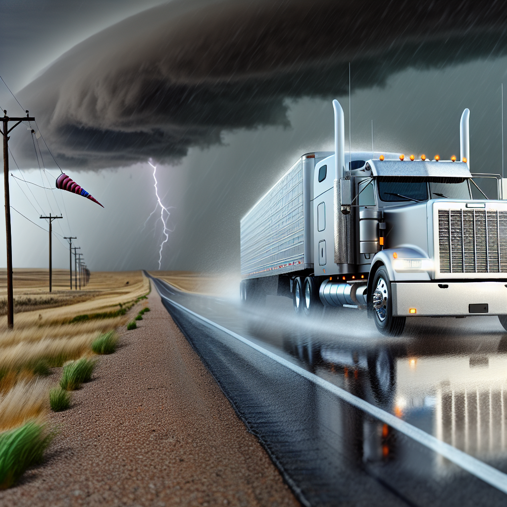
A consolidating Plains storm is drawing Gulf moisture into the Mid-South and Ozarks, producing rounds of thunderstorms with pockets of heavy rain. Scattered storms persist over the Southwest, including far West Texas and southern New Mexico, with a localized flash-flood risk. The higher Rockies may see a little wet snow at the highest peaks. Along parts of the East Coast, long-period swells from distant Hurricane Gabrielle continue to generate dangerous surf and rip currents; drivers near beaches and causeways may encounter sea spray and occasional bridge restrictions.
Hotspot: Mid-South/Ozarks to the ArkLaTex
Scattered severe thunderstorms are expected, capable of very large hail, damaging winds, a few tornadoes, and heavy downpours. A Slight Risk of flash flooding exists, with the greatest focus from southern Missouri and northern Arkansas into eastern Oklahoma, northeast Texas, north Louisiana, western Tennessee/western Kentucky/southern Illinois.
- Primary corridors: I-44 (OK–MO), I-40 (OK–AR–TN), I-30 (TX–AR), I-55 (TN–MS).
- Impacts: Rapid visibility drops, ponding water, hydroplaning risk, severe wind gusts, hail damage to equipment.
- Driver notes: Build in extra time, slow for water-covered lanes, avoid low-lying shoulders, and have a sturdy shelter plan if warnings are issued along your route.
Hotspot: Far West Texas and Southern New Mexico
Scattered thunderstorms with brief heavy rain may trigger isolated flash flooding, especially in and near arroyos and low-water crossings. Greatest impacts near the El Paso–Las Cruces corridor.
- Primary corridors: I-10 (El Paso area) and portions of I-25.
- Impacts: Sudden water rises in normally dry washes, debris on roadways, reduced visibility in downpours.
- Driver notes: Never drive through flowing water; be alert for water over dips and crossings, and adjust speed for rapidly changing conditions.
Hotspot: Central/Northern Rockies High Country
Post-frontal showers with a rain/snow mix at the highest elevations may lead to brief slushy coatings and reduced visibility on high passes.
- Primary corridors: I-70 in Colorado (Eisenhower/Johnson Tunnel area), I-80 in Wyoming, I-90 in Montana.
- Impacts: Slick patches on summits, fog/low clouds in valleys and near passes, intermittent showers.
- Driver notes: Use lower speeds on grades, increase following distance, and be prepared for quick weather shifts at elevation.
East Coast: Dangerous Surf and Rip Currents
Long-period swells from Hurricane Gabrielle continue to produce life-threatening surf and rip currents along portions of the East Coast. Marine spray and occasional bridge restrictions are possible near coastal routes.
- Driver notes: Heed any bridge advisories, allow extra stopping distance on wet decks, and secure light or empty trailers where sea spray could reduce traction.
Safety Tip of the Day
Turn around, don’t drown: never drive through flooded lanes or low-water crossings. In severe storms, reduce speed, increase following distance, and seek a safe place to wait out hail, lightning, or damaging winds. On mountain passes, anticipate quick transitions between wet and slushy surfaces.
Sources: National Weather Service, Weather Prediction Center, local NWS offices, The Weather Channel, state DOT road reports.
This weather briefing was prepared exclusively for truckstopinsider.com.


