
National Overview — Wed, Sep 24, 2025
A slow-moving front is producing rounds of heavy rain and thunderstorms from the southern Plains through the Ozarks into the Ohio and Tennessee Valleys. Flooding is the main concern, and the activity shifts east through the day. Elsewhere, conditions are comparatively quiet, with the exception of coastal surf hazards along the Atlantic tied to a distant hurricane offshore.
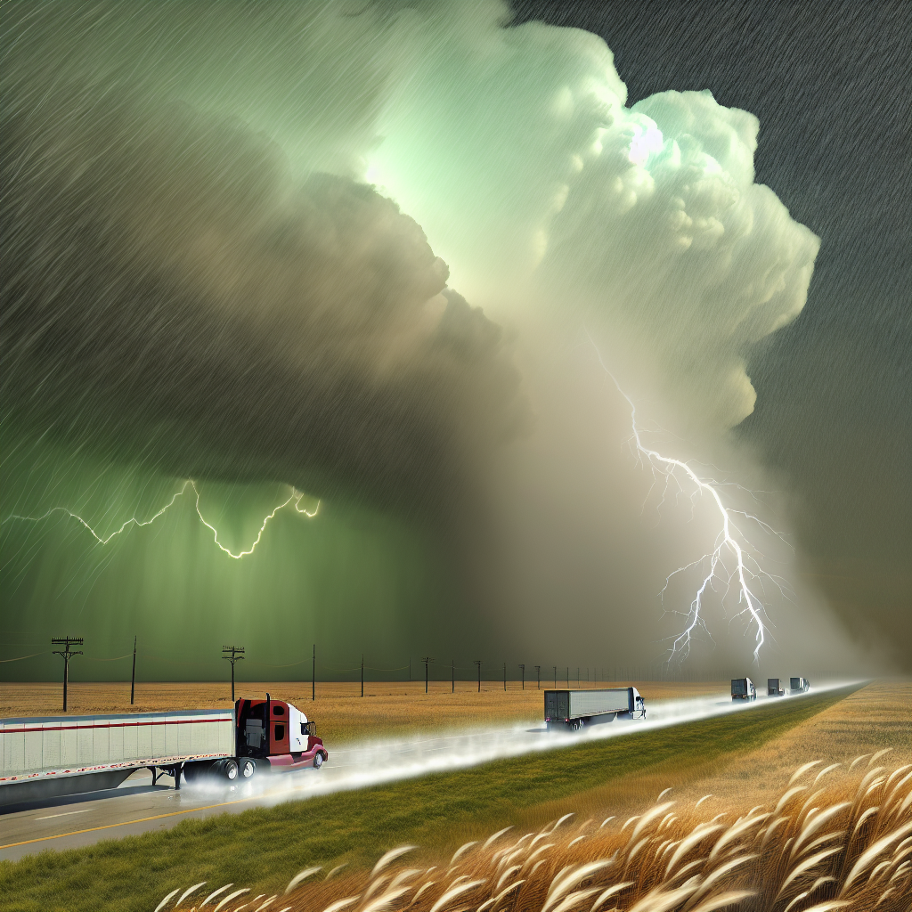
Hotspot 1: Southern Plains to Ozarks (KS–OK–AR–SW MO)
What to expect: Repeated thunderstorms with very heavy rain and localized flash flooding. Flood Watches are in effect across southeast Kansas, northeast Oklahoma, northwest Arkansas, and southwest Missouri.
- Primary corridors: I-44 (OKC–Joplin/Springfield), I-49 (NW AR/SW MO), I-40 (OK/AR).
- Impacts: Rapid ponding, water-covered low crossings, reduced visibility, abrupt slowdowns.
- Driver tactics:
- Build extra time and leave greater braking distance; hydroplaning risk is elevated.
- Avoid low-water crossings and do not enter flooded roadways (Turn Around, Don’t Drown).
- Use known high-ground parking/staging and consider alternate routes where ponding is common.
- Monitor local NWS statements for county-level timing as storms train over the same areas.
Hotspot 2: Lower Ohio & Tennessee Valleys (KY–TN into adjacent WV/OH)
What to expect: Widespread heavy rain with pockets of flash flooding and a few strong storms. Flood Watches/Warnings and Hazardous Weather Outlooks cover central Kentucky and middle Tennessee.
- Primary corridors: I-65, I-64, I-24, I-75.
- Impacts: Hydroplaning, brief closures near creeks and low spots, rapidly changing speeds in downpours.
- Driver tactics:
- Reduce speed in heavy rain; avoid cruise control on wet pavement.
- Plan for short-notice detours near low-lying interchanges and frontage roads.
- Keep fuel and hours-of-service flexibility to wait out the heaviest bands as the system shifts east.
- Check local NWS updates frequently for warning polygons along your route.
Hotspot 3: Atlantic Coast Surf Hazards (NC to New England)
What to expect: Large swells and dangerous rip currents, with pockets of minor coastal flooding. Swell energy from Hurricane Gabrielle (well offshore, tracking toward the Azores) is affecting East Coast beaches.
- Primary corridors/areas: Coastal routes and port approaches along the I-95 corridor.
- Impacts: Splash-over and salt spray on exposed roads, localized inundation on coastal parkways and port access roads.
- Driver tactics:
- Use caution near seawalls and causeways; anticipate lane restrictions in low-lying coastal stretches.
- Secure light/empty trailers from cross-breeze and spray near open waterfronts.
- Coordinate port pickups with dispatch for possible delays at coastal terminals.
Closing Safety Tip
Heavy rain and flooding remain today’s top hazards. Use alternate routes where ponding is common, leave extra braking distance, and never drive through flooded roadways—Turn Around, Don’t Drown. For the most precise timing and locations, rely on statements and warnings from your local National Weather Service office.
Likely sources: National Weather Service (local offices), Washington Post Weather, Associated Press, The Weather Channel.
This weather briefing was prepared exclusively for truckstopinsider.com.