
National Overview — Saturday, September 27, 2025
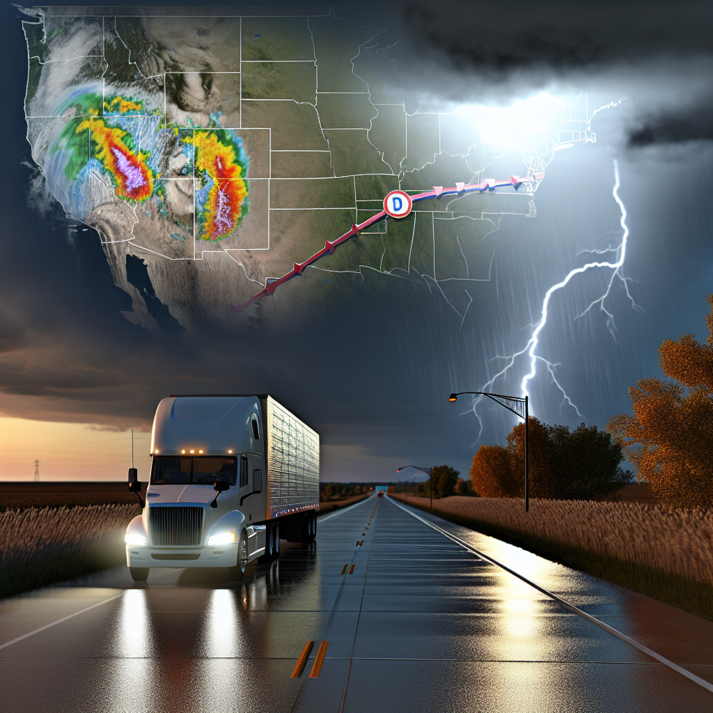
Most of the Lower 48 is relatively quiet today. Two areas deserve extra attention: 1) monsoon-enhanced thunderstorms over the Desert Southwest and Southern Rockies, and 2) increasing surf and rip-current hazards along the Southeast Atlantic coast tied to nearby tropical activity. No widespread snow is expected. In the Atlantic, Hurricane Humberto remains far offshore. A developing system near eastern Cuba/the Bahamas is expected to strengthen; U.S. impacts today are mainly marine (surf, rip currents), with a higher threat possible early next week.
Hotspot 1 — Desert Southwest and Southern Rockies (New Mexico and far West Texas)
Repeated thunderstorms will fire across New Mexico and into far West Texas, bringing localized flash flooding and quick hydro issues in poor-drainage areas.
- Main corridors: I-10 (El Paso–Las Cruces), I-25 (Las Cruces–Albuquerque), and I-40 (Gallup–Albuquerque). Risk extends into northwest New Mexico.
- Primary impacts: brief roadway flooding, washouts at low-water crossings, ponding on shoulders/ramps, and sharply reduced visibility in heavy rain.
- Driver guidance: slow down in heavy downpours; never cross flooded low-water crossings; expect rapid changes in traction and visibility. Consider extra time buffers on east–west runs along I-10 and I-40 and north–south moves on I-25.
Hotspot 2 — Southeast Atlantic Coast (Florida north to Georgia/South Carolina/North Carolina)
Swells and onshore flow ahead of the nearby tropical system will produce high surf and a moderate-to-high rip current risk today. Isolated coastal flooding in the most flood-prone spots cannot be ruled out.
- Main corridors: coastal stretches of I-95, US-1, and A1A.
- Primary impacts: gusty onshore winds may buffet high-profile vehicles near the immediate coast; splashover and minor saltwater intrusion are possible in vulnerable low spots; expect operational impacts near ports.
- Driver guidance: use caution with crosswinds on bridges and elevated roadways; stage equipment away from low-lying coastal lots during high water; anticipate slower traffic near beaches and port approaches.
Early-Week Planning Note
The system near the Bahamas could bring heavier rain, stronger winds, and coastal hazards to parts of the Southeast U.S. as soon as Monday–Tuesday. Drivers along I-95 from Florida into the Carolinas should monitor updates and be prepared for changing conditions. Hurricane Humberto remains over the open Atlantic but will continue to contribute to dangerous surf in the region.
Safety Tip of the Day
Turn around, don’t drown: even shallow moving water can sweep a rig off course or conceal washouts. If you encounter flooded pavement or a low-water crossing, reroute. Along the Southeast coast today, secure empty and light trailers against gusty onshore winds, reduce speed on exposed bridges, and avoid staging equipment in low-lying coastal areas.
Sources: National Weather Service, Weather Prediction Center, National Hurricane Center, The Weather Channel.
This weather briefing was prepared exclusively for truckstopinsider.com.