
Trucking Weather Briefing — Thursday, October 2, 2025
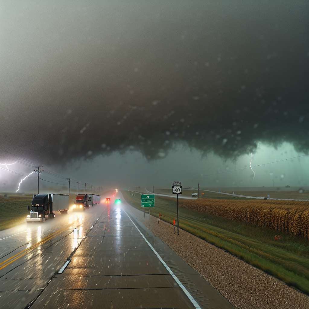
National overview: The East Coast deals with lingering swells, strong onshore flow, and pockets of coastal flooding. Bands of rain and embedded thunderstorms focus along the Southeast Atlantic coast with locally heavy downpours. The West stays cool and unsettled with periodic showers and a little snow mixing in on the highest peaks. The Plains and Midwest remain unusually warm.
Hotspot: Southeast Atlantic Coast (FL–GA–SC)
Expect bands of showers and thunderstorms with locally heavy rain, plus persistent NE onshore winds keeping rough surf and minor-to-moderate coastal flooding in play.
- Main corridors: I-95 from Daytona–Jacksonville–Savannah–Charleston; I-10 near Jacksonville.
- Road impacts: Rapidly changing visibility in downpours; ponding on travel lanes and ramps; saltwater intrusion possible on low-lying coastal approaches and causeways.
- Driver notes: Slow down in heavy bands to reduce hydroplaning risk, avoid flooded roads, and allow extra stopping distance. If your route skirts the immediate coast, consider inland alternates where practical.
Hotspot: Pacific Northwest (WA/OR — Olympic Peninsula, Cascades, Coast)
Periodic rain, locally heavy on windward slopes, with gusty S–SW winds along the coast and in higher passes.
- Main corridors: US-101 around the Olympics; I-5 Seattle–Portland; I-90 over Snoqualmie Pass; I-84 through the Columbia Gorge.
- Road impacts: Slick pavement and water pooling under heavier showers; brief visibility drops in rain; wind gusts around exposed bridges, ridgelines, and coastal stretches.
- Driver notes: Increase following distance, watch for spray and standing water, and secure light or high-profile loads against gusts. Expect slower travel over passes and through the Gorge in heavier showers.
Hotspot: Sierra Nevada into the Great Basin (CA/NV/UT)
Showers and a few thunderstorms with pockets of heavier rain. Breezy at times. Light snow may mix in on the highest Sierra peaks.
- Main corridors: I-80 (Donner Summit–Reno–Winnemucca); US-395 (eastern Sierra); I-15 across southwest/central Utah.
- Road impacts: Wet, slick grades and passes; sudden heavier bursts of rain under storms; localized reduced visibility.
- Driver notes: Use lower speeds on long, wet descents and leave extra room for braking. Be prepared for quick weather changes near higher terrain and brief gusts near storms.
Safety Tip of the Day
Wet roads and gusty winds are the common thread today. Before rolling, check tire tread and pressure, wiper condition, and securement on tall or light loads. In heavy rain, slow down, avoid cruise control, and steer smoothly to prevent hydroplaning. Never attempt to drive through standing or saltwater-flooded roadways.
Likely sources: National Weather Service, NOAA Weather Prediction Center, local NWS forecast offices, state DOT road reports, and The Weather Channel.
This weather briefing was prepared exclusively for truckstopinsider.com.