
National Overview — Sunday, October 5, 2025
A strong fall storm is exiting the northern Rockies into the north-central U.S., spreading mountain snow, a sharp cool-down, and areas of gusty winds across the Plains and Upper Midwest. Farther east, above-normal warmth expands into the Great Lakes and Northeast. Along the Southeast and central Gulf Coasts, persistent onshore flow will keep bands of heavy showers going with localized flash flooding and dangerous surf/rip currents.
Hotspot 1: Northern Rockies (Western Montana into Northwest/Northern Wyoming)
What to expect: Periods of mountain snow with 6–12+ inches at higher elevations. Snow levels drop to roughly 5,000–6,000 feet, producing slick/icy conditions on high passes.
- Primary routes at risk: I-90 (western/central MT), I-15 (southwest MT).
- Impacts: Reduced traction on grades and overpasses, slushy to icy surfaces on passes, quickly changing visibilities in snow showers.
- Actions:
- Plan extra time for mountain segments and carry winter gear; check for possible chain requirements before ascending passes.
- Manage speed on downgrades, lengthen following distance, and avoid abrupt braking.
- Stage fueling and rest breaks below 5,000–6,000 ft where road conditions are likely to be wet rather than snowy.
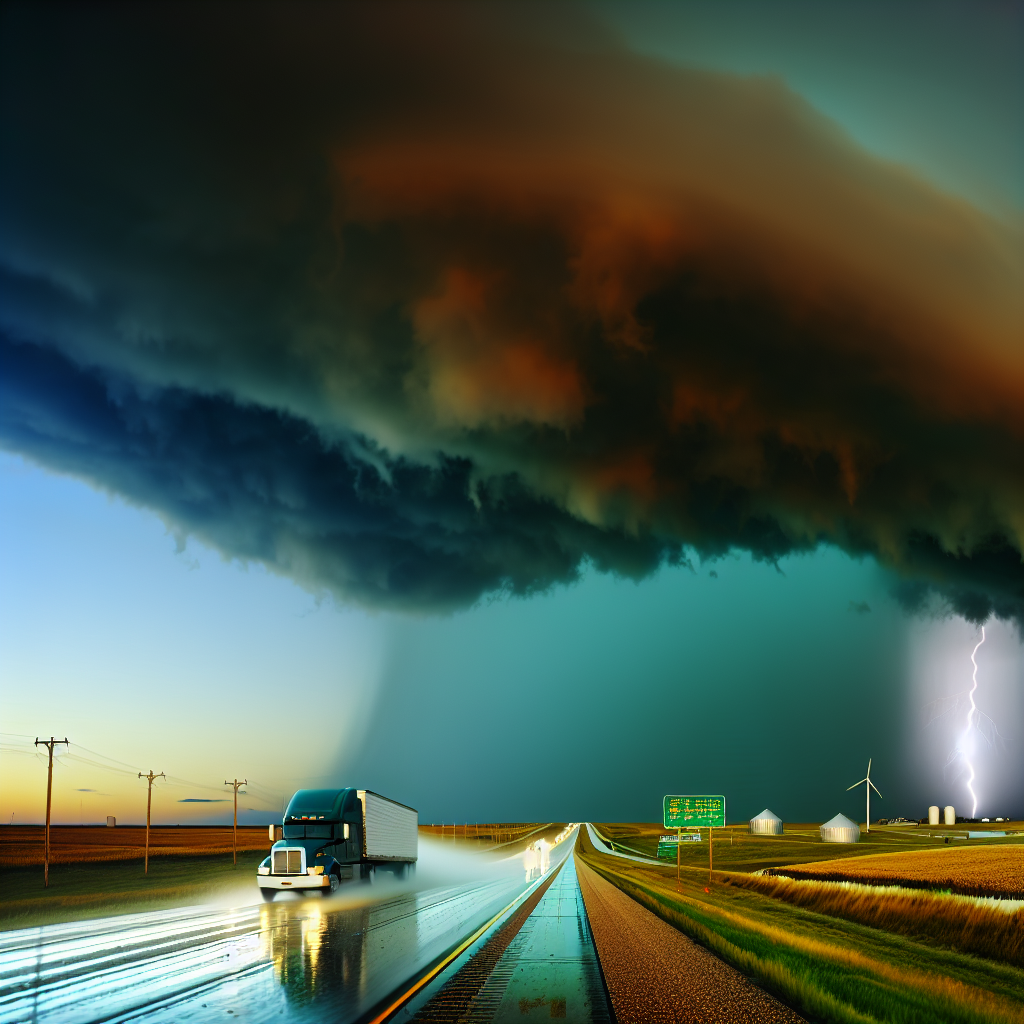
Hotspot 2: Central Plains to Upper Midwest
What to expect: Strong southerly crosswinds today with gusts 30–50 mph. A broken line of thunderstorms develops this evening from Kansas to Wisconsin and into Michigan’s U.P.; a few storms could be severe with heavy rain. Expect blow-over risk and brief white-knuckle downpours.
- Primary routes at risk: I‑70 (KS/MO), I‑80 (NE/IA), I‑35 (KS/IA), I‑90/94 (SD/MN/WI).
- Wind impacts: East–west highways will take the brunt of southerly crosswinds. Empty and high-profile trailers are most vulnerable on open stretches, bridges, and overpasses.
- Storm impacts this evening: Rapidly reduced visibility, ponding water, and brief heavy rain. Isolated severe potential may bring localized damage and sudden gusts along the line.
- Actions:
- Rebalance loads and reduce speed; consider shifting longer north–south legs earlier in the day while keeping east–west segments shorter and cautious.
- Avoid stopping on exposed bridge decks during peak gusts; increase spacing and anticipate wind shifts around passing trucks.
- As storms fire this evening, monitor radar/updates and be prepared for short-notice delays or holding patterns until the line passes.
Hotspot 3: Southeast and Central Gulf Coasts
What to expect: Persistent onshore flow keeps bands of heavy showers going with isolated flash flooding and ponding on roadways. Hazardous coastal conditions continue. Greatest focus: southeast Louisiana into coastal Mississippi (including the New Orleans area) and along coastal Georgia down the Florida east coast.
- Primary routes at risk: I‑10 (SE LA–MS), I‑95 (coastal GA–FL).
- Impacts: Rapidly changing rainfall intensity, water over low spots and ramps, and slower traffic in heavy bursts. Coastal spritz/spray and standing water reduce visibility and traction.
- Actions:
- Reduce speed on water-covered pavement; never drive through flooded underpasses or closed lanes.
- Use steady throttle, avoid sudden lane changes, and increase following distance to limit hydroplaning risk.
- Plan for extra time through the New Orleans corridor and coastal stretches of I‑95 where heavier bands may repeatedly pass.
Safety Tip of the Day
Crosswinds and sudden heavy rain are a risky combo: before departure, verify tire tread depth and inflation, secure all exterior equipment, and re-check trailer balance. On open east–west routes with strong southerly winds, slow down 5–15 mph below the limit, keep both hands on the wheel, and leave an extra lane of space when possible around other high-profile vehicles.
Sources: National Weather Service, NOAA Weather Prediction Center, NOAA Storm Prediction Center, local DOTs, The Weather Channel.
This weather briefing was prepared exclusively for truckstopinsider.com.