National Overview — Thursday, October 9, 2025
Moisture from Tropical Storm Priscilla feeds into the Southwest today, boosting the risk for slow-moving downpours and localized flash flooding. A developing coastal low along the Southeast tightens the pressure gradient, bringing onshore gusts, coastal flooding at high tide, and bands of rain near the beaches. Pacific systems spread rain into the Pacific Northwest with early-season snow possible on the highest Cascade peaks late today into tonight. Expect cooler-than-average conditions in the Midwest and Northeast, warmer in the Plains and Interior West. Build extra time into routes crossing mountain corridors or coastal causeways.
Southwest — Four Corners and Lower Colorado River Valley
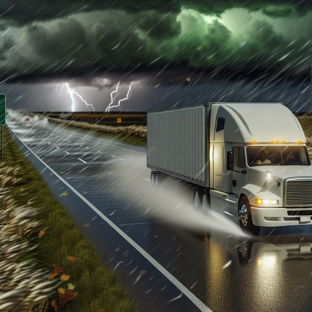
Slow-moving, tropical-fed downpours will trigger localized flash flooding today. Rapid ponding is likely in urban corridors with runoff through slot canyons and arroyos. Avoid low water crossings.
- Primary hazards: Localized flash flooding, sudden rises in washes/arroyos, reduced visibility in heavy downpours.
- Impacted corridors: I‑17 (Phoenix–Flagstaff), I‑40 (western/northern AZ), I‑15 (St. George–Mesquite), I‑10 (central/southern AZ), I‑19 (Tucson–Nogales).
- Driver notes: Slow down in heavy rain, leave extra stopping distance, and do not drive through flooded roadways.
Southeast Coast into Florida
A coastal low brings increasing onshore winds, coastal flooding around high tide, and bands of rain along the beaches. Central and south Florida will also see heavy showers with isolated flash flooding.
- Primary hazards: Gusty onshore winds (crosswinds on bridges), splash-over and minor flooding at high tide, reduced visibility in rain bands.
- Impacted corridors: I‑95 from NE FL through coastal GA/SC/SE NC; I‑4 (Tampa–Orlando–Daytona); Florida’s Turnpike; coastal bridges/US‑17.
- Driver notes: Use caution on exposed bridges and causeways, secure light/empty trailers, and watch for hydroplaning in heavier bands.
Pacific Northwest
An incoming Pacific system delivers periods of heavy rain and gusty coastal winds. Snow levels lower toward 4,000–5,500 ft with several inches possible on the highest Cascade peaks late today into tonight. Expect wet roads, ponding, and reduced visibility; watch higher passes for slick spots.
- Primary hazards: Standing water on roadways, gusty coastal winds, early-season snow over the highest peaks.
- Impacted corridors: I‑5 and US‑101 (wet roads, ponding); mountain passes including US‑2 (Stevens) and I‑90 (Snoqualmie) for reduced visibility and slick spots at elevation.
- Driver notes: Check local NWS updates and DOT pass reports before crossing higher terrain and plan for slower travel through the wettest periods.
Safety Tip of the Day
Flash-flood risk is “Slight” in parts of the Southwest and winter hazards, while low, are not zero on the highest Pacific Northwest terrain. Build extra time into schedules, avoid low water crossings, and check local NWS updates and DOT pass reports before committing to mountain passes or coastal causeways.
Likely sources: National Weather Service (Weather Prediction Center and local forecast offices), NOAA, state Departments of Transportation, The Weather Channel.
This weather briefing was prepared exclusively for truckstopinsider.com.


