
National Overview — Sunday, October 12, 2025
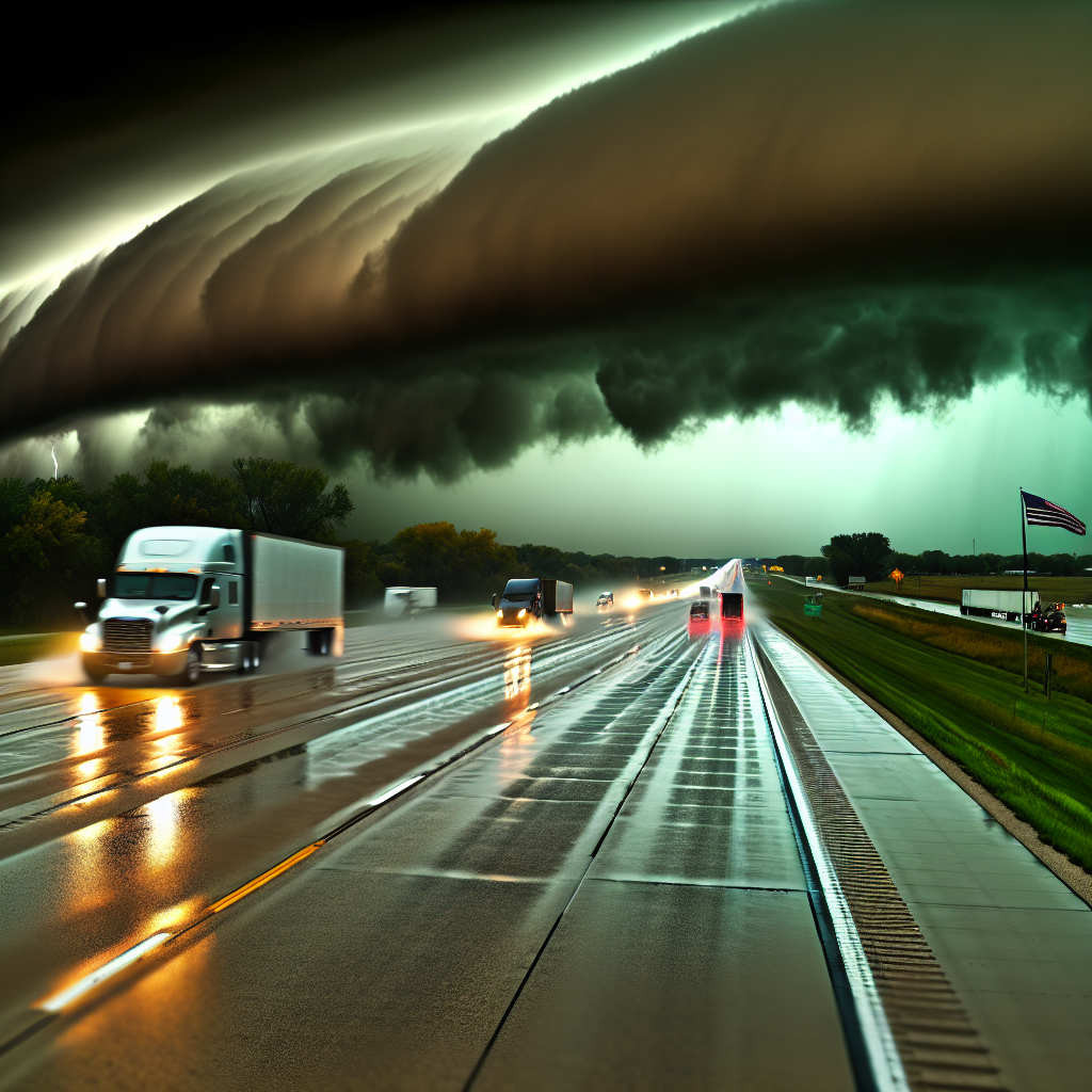
A coastal low is driving heavy rain, strong onshore winds, and coastal flooding along much of the East Coast. The Desert Southwest faces a focused flash-flood threat from repeated downpours, while a Western storm brings rain to lower elevations and accumulating high-elevation snow across the Cascades and northern Rockies. Expect travel slowdowns and intermittent closures in these hotspots.
East Coast: Nor’easter-Like Coastal Storm (Carolinas to Southern New England)
Impacts are most significant along and near I-95 from North Carolina through Massachusetts, including urban stretches around Washington, DC, Baltimore, Philadelphia, and New York City. Coastal spurs and bridges are especially vulnerable.
- Winds: Gusts 55+ mph near Mid-Atlantic and southern New England coasts; crosswinds hazardous for high-profile vehicles.
- Rain/Water: Heavy rain with large surf and coastal flooding; periodic coastal road closures at high tide.
- Logistics notes: Expect lane restrictions for high-profile vehicles on bridges and elevated roadways. Allow extra time for detours off coastal routes and plan around high tide cycles where possible.
- Driver actions: Reduce speed in wind-driven rain, avoid flooded lanes, secure light/empty trailers, and stage inland if coastal closures are anticipated.
Desert Southwest: Flash-Flood Risk (SE Arizona into SW New Mexico)
Repeated downpours bring a Slight Risk for excessive rainfall, with scattered flash flooding possible—most notably along I-10 from Tucson to Las Cruces, I-19 (Tucson–Nogales), and I-25 near Las Cruces.
- Hazards: Rapid ponding and hydroplaning, washouts on shoulders, and brief closures at low-water crossings.
- Logistics notes: Expect sudden slowdowns and short-notice closures in prone spots and urban low areas.
- Driver actions: Keep speeds down in heavy rain, avoid crossing water-covered dips, leave extra following distance, and verify alternate routing around low-water crossings.
Pacific Northwest and Northern Rockies: Rain and Mountain Snow
A Western storm brings rain at lower elevations and accumulating snow over higher passes, affecting I-90 (Snoqualmie Pass, WA; Lookout Pass, ID/MT), I-84 through Oregon’s Blue Mountains, and nearby routes.
- Snow: 3–6 inches common at higher elevations, locally up to 12 inches; expect slick surfaces and reduced visibility.
- Logistics notes: Possible chain controls and weather-related speed reductions over the passes.
- Driver actions: Carry chains where required, plan earlier departures to cross passes in daylight, and stage below pass level if conditions deteriorate.
Safety Tip of the Day
Wind + water multiplies risk: In strong coastal winds and heavy rain, slow down, increase following distance, and avoid exposed bridges if gusts are forcing steering corrections—better to wait for a lull than risk a rollover or water intrusion.
Sources: National Weather Service, Weather Prediction Center, local NWS offices, state Departments of Transportation, The Weather Channel.
This weather briefing was prepared exclusively for truckstopinsider.com.