
National Overview — Friday, October 24, 2025
A multi-hazard day is unfolding across the U.S. A storm system is triggering showers and strong to severe thunderstorms across the Southern Plains, focusing on the Texas I-35 corridor with a localized flash-flood risk. Farther west, a Pacific front brings steady rain to the Pacific Northwest with gusty coastal winds and high-elevation snow spreading into the Cascades and the Sawtooth late today into tonight. Scattered, lighter showers will also dot parts of the Great Lakes and the Northeast.
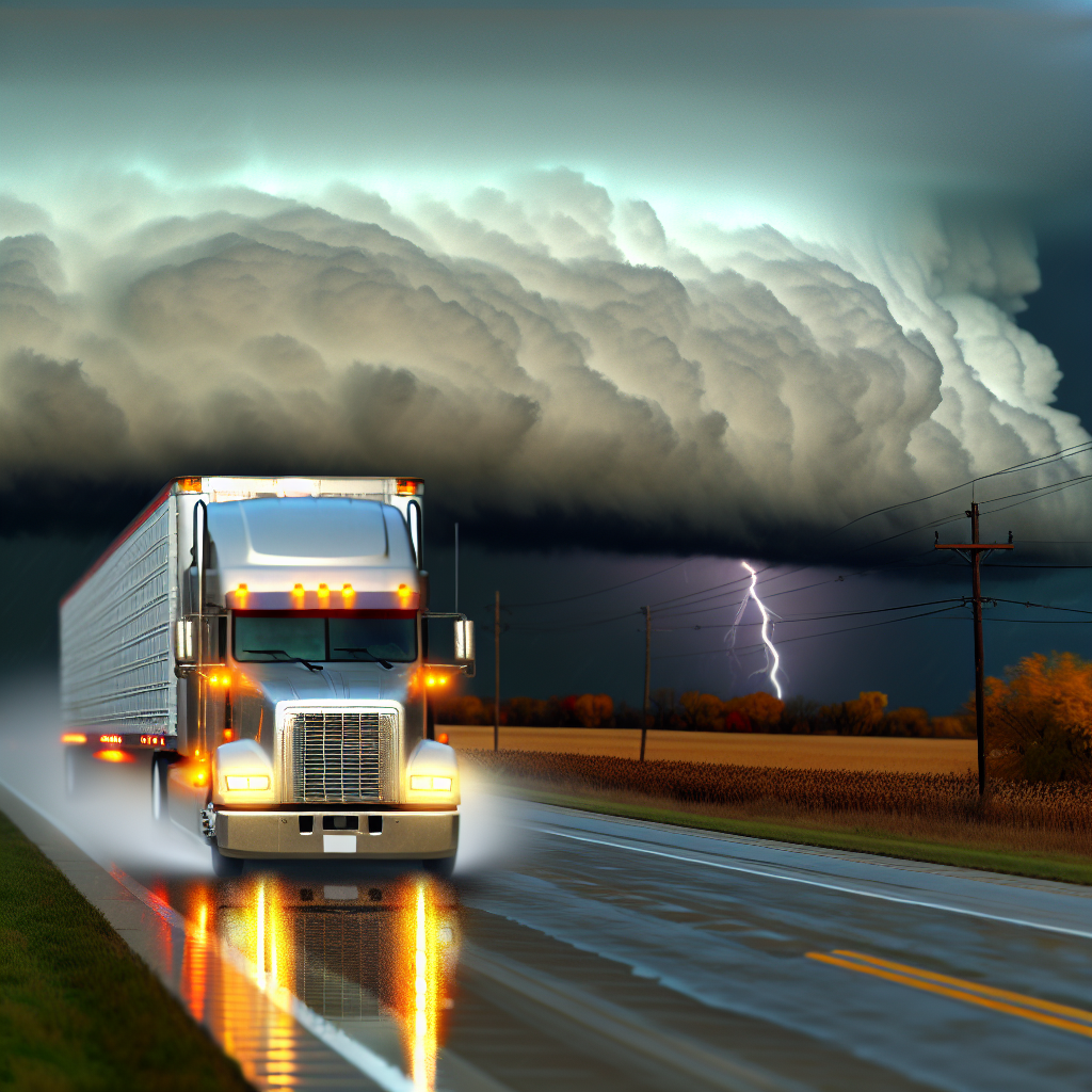
Hotspot: Central and North Texas — I-35 San Antonio–Austin–Dallas
Risk: Scattered severe thunderstorms with a few tornadoes, damaging winds, large hail, and localized flash flooding.
- Timing: Storms are expected to organize this afternoon and evening and push east, likely moving beyond the I-35 corridor overnight.
- Main impacts for drivers:
- Rapidly changing conditions: blinding downpours, ponding on roadways, and hydroplaning risk.
- Severe hazards: sudden strong wind gusts, large hail, and a few tornadoes possible.
- Localized flash flooding where storms train over the same areas; low-water crossings and underpasses are vulnerable.
- Interstates/areas: Primary impacts along I-35; secondary effects possible later near I-20 and I-45 as storms shift east.
- Driver actions:
- Build extra time into afternoon/evening runs; consider staging earlier in the day if feasible.
- Do not drive through flooded roadways; turn around if water covers the lane.
- Identify sturdy shelters along your route in case tornado warnings are issued.
Hotspot: Pacific Northwest into the Northern Intermountain — I-5, I-90 (Snoqualmie Pass WA), I-84 (OR/ID)
Risk: Periods of moderate rain with gusty coastal and Coast Range winds; snow developing late today/tonight over higher Cascades and the Sawtooth with slick, low-visibility passes.
- Main impacts for drivers:
- I-5 corridor: Wet roads and reduced visibility in steady rain; gusty crosswinds for high-profile vehicles, especially along the coast and exposed spans.
- I-90 Snoqualmie Pass / I-84 higher elevations: Rain changing to snow late today into tonight with slick surfaces, slushy accumulations, and patchy fog/low clouds over the summits.
- Driver actions:
- Reduce speed and increase following distance on wet pavement; watch for spray and standing water.
- Secure light/empty trailers against crosswinds; use caution on bridges and open stretches.
- Prepare for winter operations on the higher passes tonight: check chain requirements and allow extra time.
Hotspot: Central Rockies, Colorado High Terrain — I-70 over the Eisenhower/Johnson Tunnels
Risk: Periods of high-elevation snow with lowered snow levels by morning, producing slick conditions and brief delays on the highest passes.
- Main impacts for drivers:
- Slippery pavement and reduced visibility near and over the Continental Divide.
- Potential chain controls and slower travel through the tunnels and adjacent grades.
- Driver actions:
- Carry chains and be ready for winter protocols; leave extra stopping distance on grades and ramps.
- Plan additional time for summit crossings and consider lower-elevation timing alternatives if schedules allow.
Additional Regional Notes
- Great Lakes and Northeast: Scattered showers may lead to intermittent wet pavement and reduced visibility; expect minor, localized slowdowns.
Driver Safety Tip of the Day
When storms are expected to intensify later in the day—as across Texas today—front-load your route where possible, identify safe shelter locations along your path, and keep multiple ways to receive warnings in the cab. In mountainous areas, make a quick pre-trip check for chain requirements and be prepared to transition from wet to snowy conditions within a few miles of elevation gain.
Likely sources: National Weather Service, NOAA Weather Prediction Center, NOAA Storm Prediction Center, local State DOTs, and The Weather Channel.
This weather briefing was prepared exclusively for truckstopinsider.com.