
National Overview — Saturday, October 25, 2025
Two primary threats for truckers today: 1) Repeated rounds of thunderstorms from the Southern Plains into the Lower Mississippi Valley with localized flash flooding and some severe storms. 2) An atmospheric river bringing heavy rain, strong coastal winds, and high-elevation snow to the Pacific Northwest and far northern California. Elsewhere, the East turns cooler behind a front, while Florida sees scattered coastal storms.
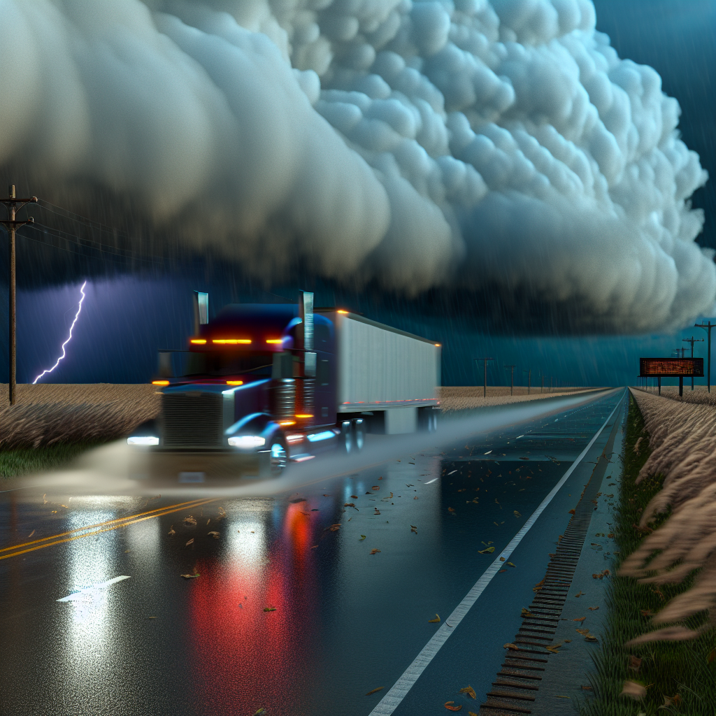
Southern Plains to Lower Mississippi Valley
Multiple thunderstorm clusters will track and redevelop through the day and night, producing very heavy rain at times and a risk for severe weather. Rain rates near 2 inches per hour with localized totals of 3–5 inches could trigger scattered flash flooding. The severe threat includes large hail, damaging winds, and a few tornadoes.
- Primary corridors: I-35 (Austin–Waco–DFW), I-10 (Houston–Lake Charles–Baton Rouge), I-20 (DFW–Shreveport–Jackson), I-30 (DFW–Texarkana), I-49 (Shreveport–Alexandria), I-55 (Jackson).
- Areas most affected: eastern Texas, western/southern Louisiana, southern Arkansas, Mississippi.
- Hazards: rapid ponding, brief closures of low spots, hydroplaning, reduced visibility in training storms; localized flash flooding.
- Operational notes: allow extra stopping distance, slow through heavy cells, and have alternate routes ready around low crossings and urban underpasses.
Pacific Northwest and Northwest California
An atmospheric river continues with heavy coastal and valley rain, strong/gusty winds, and high-elevation snow. Snow levels generally near or above 5,000 feet, with the heaviest snow on the higher summits. Expect crosswinds and periods of very poor visibility in heavy rain bands.
- Primary corridors: I-5 (Seattle–Portland–Eugene–Redding), US-101 (coast), I-84 through the Columbia River Gorge.
- Hazards: hydroplaning, water pooling, debris on roadways, and strong crosswinds; snow and ice mainly above pass level on the highest roads near the crest.
- Operational notes: secure light/empty trailers against gusts; reduce speed in heavy rain; check pass reports before ascent to higher terrain.
Northern Rockies and Northern Great Basin
Rain spreads inland with bursts of mountain snow and strong gusts today into tonight; additional snow potential returns Sunday. Accumulations today favor the higher peaks, but brief visibility drops and slick spots are possible on the tallest passes.
- Primary corridors: I-90 (ID/MT passes), I-15 (ID/MT), higher stretches of I-84 (OR/ID).
- Hazards: strong crosswinds, wet roads, low visibility in showers; localized slick conditions on the highest passes.
- Operational notes: monitor wind advisories, be prepared for changing traction on approach to higher elevations, and space out on downgrades.
Safety Tip of the Day
When heavy rain rates reduce visibility or create standing water, slow down, increase following distance, and avoid passing through flooded low spots. If wind gusts affect lane control—especially with light or empty trailers—reduce speed and increase steering input margins. Plan fuel and rest stops ahead of the worst bands to avoid unnecessary exposure in the heaviest weather.
Sources: National Weather Service, Weather Prediction Center, Storm Prediction Center, local NWS offices, and The Weather Channel.
This weather briefing was prepared exclusively for truckstopinsider.com.