
National Overview — Tuesday, October 28, 2025
A Pacific system is winding down across the Northwest with mountain snow tapering off. Farther east, a new front is pushing from the Plains into the Midwest today, bringing scattered light showers and a breezy, cooler push behind it. The first Santa Ana event of the season is ramping up in Southern California with very warm, dry, and gusty offshore winds. Widespread severe thunderstorms are not the main concern today; primary hazards are wind, residual mountain slick spots, and Southern California’s Santa Ana conditions.
Southern California — Santa Ana Winds
Expect hot, very dry, and gusty northeast winds today, continuing into Wednesday with critical fire weather conditions.
- Winds: 20–35 mph with higher gusts 40–50 mph in favored passes and canyons.
- Key corridors: I-5 (Grapevine), I-15 (Cajon Pass), I-10 (San Gorgonio Pass), US-101, CA-14.
- Hazards: Hazardous crosswinds for high-profile vehicles, localized blowing dust, rapid fire spread potential.
- Advisories: Wind Advisory into Tuesday morning; northeast gusts up to 45 mph also possible along Central Coast ranges.
- Trucker tips:
- Delay moves with light/empty trailers through passes during peak gusts if feasible.
- Secure tarps and light equipment; keep both hands on the wheel and reduce speed in gap wind areas.
- Avoid stopping on dry grass/brush and prevent sparks during inspections due to critical fire weather.
Northwest Mountains — Early-Season Snow Tapering
Snow is ending, but slick spots and areas of black ice are possible this morning on higher passes after overnight accumulations.
- Key corridors: I-90 (Snoqualmie and Lookout Pass), US-2 (Stevens Pass), and adjacent Cascade/northern Rockies routes.
- Hazards: Compact snow/ice on shoulders and bridge decks; reduced traction on shaded curves and grades.
- Trucker tips:
- Carry chains and inspect them before climbing passes.
- Increase following distance; brake gently on bridges and elevated ramps.
- Watch for black ice early this morning, especially at higher elevations.
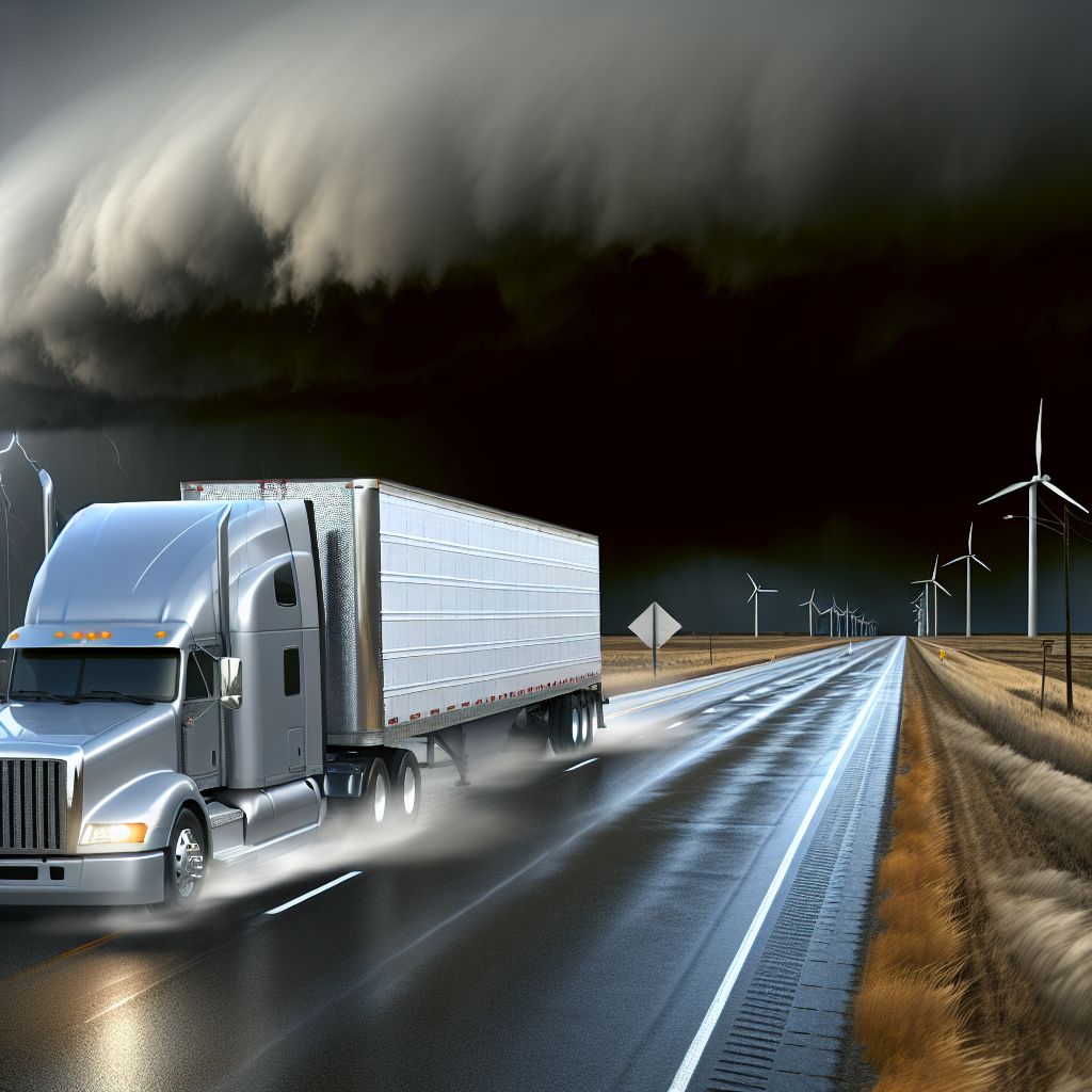
Central Plains to Upper Midwest — Post-Frontal Winds
Behind today’s front, expect a breezy, cooler push with scattered light showers and stiff crosswinds for high-profile vehicles.
- Winds: Northwest 15–25 mph with gusts 30–35 mph.
- Key corridors: I-80, I-29, I-35, I-90.
- Hazards: Crosswinds on open stretches and exposed bridges; spotty wet pavement under passing showers.
- Trucker tips:
- Reduce speed and increase lane position awareness when crossing open prairies.
- Balance or add ballast to light/empty trailers when possible.
- Plan extra time for handling and spacing in gusty conditions.
Final Safety Tip
Today’s biggest risks are wind and lingering slick spots. Before departure, check mountain pass conditions, ensure chains are accessible, and review wind-sensitive routing through Southern California and the Central Plains/Upper Midwest. Slow down in gusts, secure light gear, and leave additional stopping distance on wet or icy surfaces.
Sources: National Weather Service, Weather Prediction Center, local NWS forecast offices, state DOT road condition reports, and The Weather Channel.
This weather briefing was prepared exclusively for truckstopinsider.com.