
National Overview — Tuesday, November 4, 2025
Broad west-to-east flow keeps much of the country warmer than normal today. The most impactful weather targets the Pacific Northwest and northern California, where an atmospheric river brings periods of heavy rain and strong southerly winds, strengthening late today into Wednesday. Mountain snow will create slick travel on parts of the Northern Rockies and Continental Divide. The High Plains turn dry and gusty with localized fire weather and hazardous crosswinds. Elsewhere, expect light showers from the Great Lakes into the Northeast and some high-elevation snow showers in the northern Appalachians. Organized severe weather is not highlighted, and the national flash-flood threat is low today.
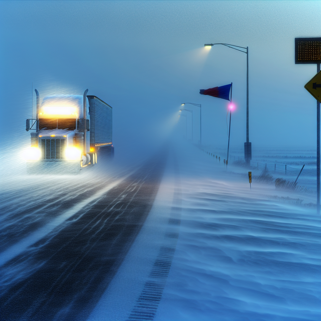
Hotspot 1: Pacific Northwest and Northern California (WA–OR–north CA)
- Weather: Periods of heavy rain under a strengthening atmospheric river; strong southerly winds. Isolated thunderstorms possible along the North Coast. Conditions intensify late today into Wednesday.
- Wind: Gusts 40–55 mph common along the coast and in wind-prone valleys; stronger gusts possible on higher peaks. Expect high-profile vehicle sway in exposed corridors.
- Road impacts: Hydroplaning and ponding on fast lanes; fallen branches and debris in gusty zones; reduced visibility in heavy rain bands.
- Key routes to watch:
- I-5 from Redding–Medford–Portland: Intermittent heavy rain and gusty crosswinds; expect speed reductions and spray.
- US-101 along the Del Norte/Humboldt/Mendocino coasts: Strong coastal gusts, water pooling, and debris on curves.
- I-84 through the Columbia Gorge: Channeled winds with strong crosswind bursts; high-profile vehicles use extreme caution.
- Operational note: Plan fuel and rest stops ahead of the overnight wind/rain peak. Verify any local wind restrictions for high-profile loads before departure.
Hotspot 2: Northern Rockies/Continental Divide (ID–MT)
- Weather: Intermittent mountain snow today into tonight; additional rounds midweek. Winter weather advisories in spots.
- Road impacts: Rapidly changing traction on grades, slick and snowpacked stretches on passes, and variable visibility in snow showers.
- Key routes to watch:
- I-90 over Lookout Pass (ID/MT): Periodic snow with slick conditions; anticipate slower climbs/descents.
- US-2 over Marias Pass (MT): Intervals of snow and reduced visibility; drifting possible near summits.
- Operational note: Carry and use chains where required. Leave extra stopping distance and manage speed proactively on downgrades.
Hotspot 3: High Plains Wind/Fire Weather (WY–western NE–northeast CO–far SW SD)
- Weather: Dry, breezy downslope flow with localized Red Flag conditions. Elevated blow-over risk for light or empty trailers. Record-challenge warmth is possible in parts of the TX Panhandle and the CO Front Range, reinforcing regional dryness east of the Rockies.
- Wind/visibility: Strong crosswinds with occasional gusty bursts; patchy blowing dust reducing visibility near open fields and construction zones.
- Key routes to watch:
- I-25 in WY: Crosswinds on exposed segments and overpasses.
- I-80 across WY/western NE: Prolonged crosswind corridors with sporadic blowing dust.
- I-76 in northeast CO: Gusty intervals and localized dust near agricultural areas.
- Operational note: Secure light/empty trailers, redistribute weight where possible, and check for any high-wind advisories or restrictions. Avoid activities that could spark fires; conditions favor rapid fire spread if ignitions occur.
Elsewhere
- Great Lakes to Northeast: Light showers with generally minor impacts; wet roads may be slick at times.
- Northern Appalachians: Spotty high-elevation snow showers; brief slushy patches possible on the highest summits.
- Hydrology/Severe: Day 1 flash-flood threat not highlighted nationally and organized severe weather is low.
Driver Safety Tip of the Day
Match speed to conditions and load. In heavy rain and strong winds, slow down, increase following distance, and avoid cruise control on wet pavement. For mountain passes, enter downgrades at a safe speed, use lower gears, and allow extra room to stop. In high winds, keep both hands on the wheel, stagger travel with other high-profile vehicles, and delay departure if your trailer is light or empty.
Sources: National Weather Service, Weather Prediction Center, local NWS offices, and The Weather Channel.
This weather briefing was prepared exclusively for truckstopinsider.com.