
National Overview — Monday, November 10, 2025
A strong push of polar air dominates the eastern two-thirds of the U.S. today, driving much colder temperatures, blustery west-to-northwest winds, and widespread lake-effect and upslope snow from the Great Lakes into interior New England and the central Appalachians. The West is milder overall, with light rain spreading into the Pacific Northwest and the far northern Rockies. No organized severe thunderstorms are expected today.
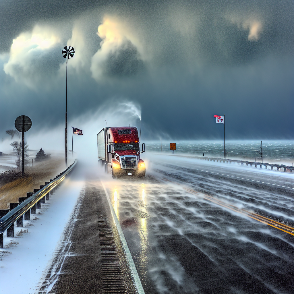
Hotspot: Southern Lake Michigan — Chicago and NW Indiana
Intense lake-effect snow is producing whiteouts and blowing/drifting snow. Winter Storm Warnings are in effect through midday. Localized snowfall rates up to 3 inches per hour and wind gusts over 30 mph will make for very difficult travel in and near persistent bands.
- Primary corridors: I-90/94, I-80/94, and I-65 (IN), especially near the immediate lakeshore and south/east of downtown.
- Impacts: Rapidly changing visibility, snow-packed lanes, and drifting in open areas.
- Driver notes: Slow down in any banding; expect sudden near-zero visibility. Watch for plow operations and drifting at ramps.
Hotspot: Lake Erie Snowbelt — NW Pennsylvania into adjacent Ohio/New York
Heavy lake-effect snow continues with Lake Effect Snow Warnings. Additional accumulations of 5–8 inches are likely in favored bands. Visibility may drop below one-quarter mile at times, and gusty winds will worsen blowing snow and slick conditions, especially on bridges and overpasses.
- Primary corridors: I-90, I-79, and I-86 near and southeast of Erie; bands may also clip far NE Ohio and far W NY.
- Impacts: Hazardous roads where bands persist; quick deterioration from wet to snow-covered.
- Driver notes: Be ready for band shifts; increase following distance and use extra caution on elevated surfaces.
Hotspot: Central Appalachians — WV high terrain into western MD/PA highlands
Upslope snow and strong, cold west winds will create locally moderate accumulations (highest in east-central WV). Expect bursts of heavier snow showers/squalls with rapid visibility drops and quick road coating.
- Primary corridors: I-68 (WV/MD), I-79 (WV/PA), and ridge-top stretches of I-81.
- Impacts: Slick spots and sudden reductions in visibility in heavier showers or squalls.
- Driver notes: Anticipate crosswinds on exposed ridges and be prepared for quick weather changes over short distances.
Hotspot: South Texas — Critical Fire Weather
Gusty north winds and very low humidity are producing critical fire-weather conditions, with Red Flag Warnings in parts of the Houston area. High-profile vehicles may encounter crosswinds and localized visibility issues near any smoke or dust.
- Primary corridors: I-10 (Houston–San Antonio), I-35 (San Antonio–Laredo), and I-37 (San Antonio–Corpus Christi).
- Driver notes: Secure light loads, be alert for smoke plumes near grass fires, and avoid stopping along dry grassy medians.
Safety Tip of the Day
Plan extra time across the Great Lakes and central Appalachians. In snow bands or squalls, slow down, use low-beam headlights, and avoid sudden lane changes. Keep your windshield clear, watch bridges/overpasses for slick spots, and maintain a larger buffer from the vehicle ahead. In gusty crosswinds, reduce speed and keep both hands on the wheel—especially with empty or light trailers.
Sources: National Weather Service, Weather Prediction Center, local NWS offices, state DOTs, and The Weather Channel.
This weather briefing was prepared exclusively for truckstopinsider.com.