
National Overview — Thursday, November 13, 2025
A strong Pacific storm is moving into California with heavy rain, strong winds, and Sierra mountain snow. Lake-effect snow continues downwind of the Great Lakes into the interior Northeast. Elsewhere, the central U.S. is mild to warm. No organized severe-thunderstorm outbreaks are expected today.
Northern/Central California and the Sierra Nevada
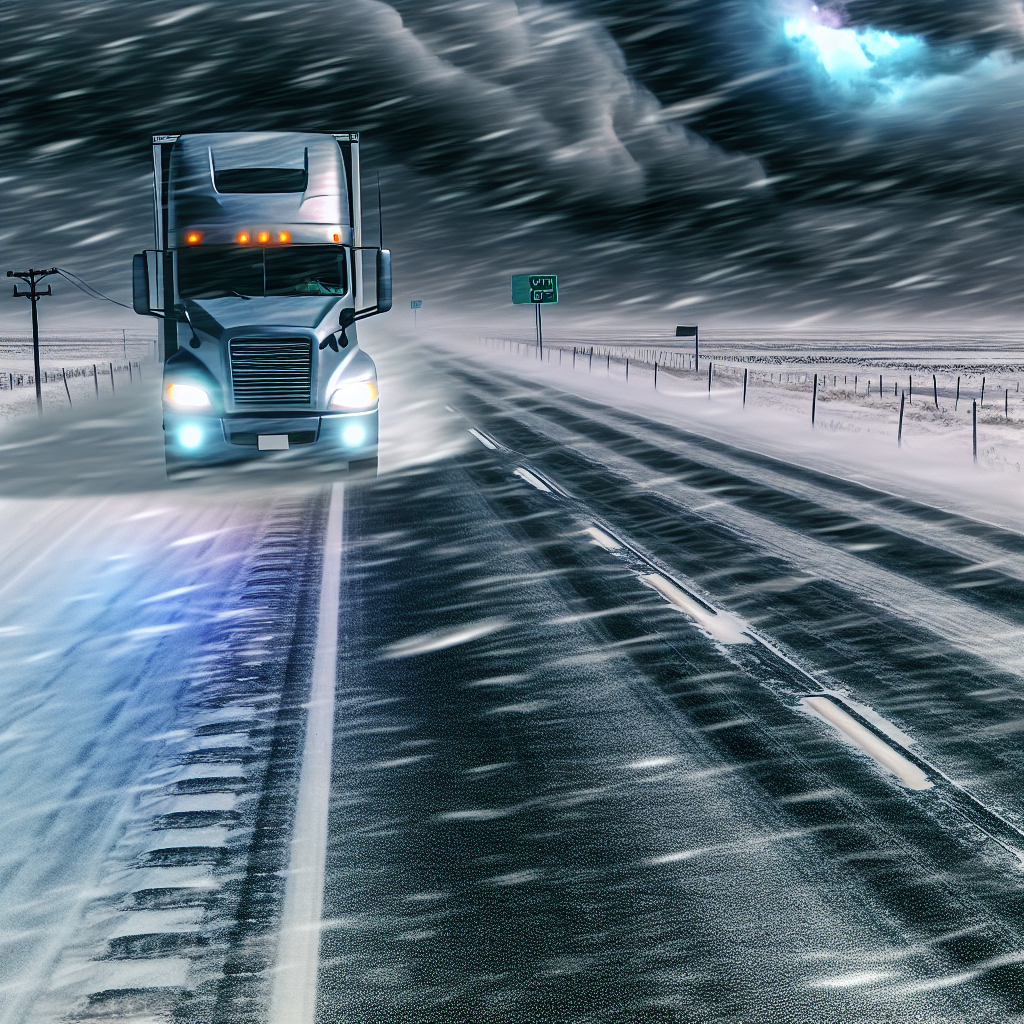
Damaging south winds and soaking rain arrive today, with heavy mountain snow developing over the Sierra. A slight risk of flash flooding exists in parts of the Bay Area and along the Sierra foothills. High Wind Warnings/Advisories are in effect across much of northern/central California and western Nevada this morning, with gusts capable of impacting high-profile vehicles.
- Primary routes: I-5, I-80, US-101 in the Bay Area and Central Valley; Sierra passes including I-80/Donner Summit and CA-88/US-50.
- Wind: Strong south winds this morning into midday along the coast and valleys; hazardous for high-profile and empty trailers.
- Rain/Flooding: Heavy coastal and valley rain; slight flash-flood risk in the Bay Area and Sierra foothills—avoid low-lying, flood-prone segments.
- Snow/Passes: Heavy snow developing over the Sierra; expect rapidly deteriorating traction at higher elevations. Check pass conditions before climbing.
- Timing: Heaviest coastal impacts Thursday morning–midday; Sierra impacts build through the day.
Lower Great Lakes to Interior Northeast
Intermittent lake-effect snow and snow showers will produce localized whiteouts in heavier bands, with slick spots and rapidly changing conditions.
- Primary corridors: I-90 (Cleveland–Buffalo–Rochester–Syracuse), I-81 (Finger Lakes/Tug Hill), I-86/Southern Tier, and I-79 in northwest PA.
- Visibility: Expect rapid drops in visibility within narrow bands; conditions can change within a few miles.
- Driving: Allow extra spacing, reduce speed when entering snow bands, and anticipate slick bridges/ramps and quick transitions from dry to snow-covered pavement.
Northern Rockies (Northwest/North-Central Montana)
Strong southwest winds along and east of the Rockies will create hazardous crosswinds, especially for light or empty trailers.
- Primary routes: I-15 (Great Falls–Shelby/Canadian border) and US-2 along the Hi-Line, including East Glacier and adjacent foothills.
- Winds: Frequent gusts in the 40–55 mph range this afternoon into Friday; expect difficult handling on exposed stretches.
Driver Safety Tip
Plan extra time and adjust speed for wind and visibility. High-profile vehicles should evaluate wind advisories before committing to exposed routes, and all drivers should increase following distance in lake-effect bands and verify Sierra pass status before ascent.
Sources: National Weather Service, NOAA Weather Prediction Center, local NWS forecast offices, state DOT road condition reports, and The Weather Channel.
This weather briefing was prepared exclusively for truckstopinsider.com.